        |

New Products

Dt 56.02 Corfe Castle & Wareham 1926
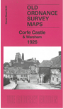
Detailed map of Corfe Castle & Wareham; Dorset sheet 56.02
Introduction by Tony Painter
Covers Cemetery, St Edward the Martyrs Church, Town Hall, Railway Station, Morton's House, St Martin's Church, Westport House and South Bridge.
find out more
Hm 86.11 Southbourne & Tuckton 1907
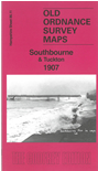
Detailed map of Southbourne; Hants sheet 86.11
Introduction by Alan Godfrey
Covers Stourcliffe House, Tuckton House, West Southbourne, Site of St Mary Magdalens Hospital, Southcliff Hotel, St Catherine's Church, Coastguard Station and St Catherine's Home.
find out more
LS 8.61 Poplar New Town & South Bromley 1867-93
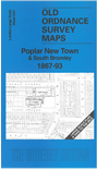
Large Scale Plan of Poplar New Town; London sheet 8.61
Reduced from the original 5' to a mile plan
Introduction by Pamela Taylor
Covers St Saviour's School, St Michael & All Angel's Church, St Stephen's Church, Poplar Railway Station, St Mary & St Jospeh's RC Chapel and East India Dock Road
find out more
LS 7.89 Surrey Docks (North) 1868-94
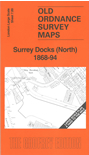
Large Scale Plan of Surrey Docks North; London 7.89
Reduced from the original 5' to a mile plan
Introduction by Alan Godfrey
Covers Stave Dock, Island Dock, Ship Breaking Yard, Swing Bridge, Forsyth Street, Kinsburn Street, Wyndham Road area.
find out more