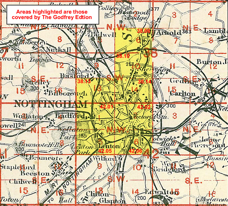
Old Ordnance Survey Maps of Nottinghamshire
There is a small but growing range of maps for Nottinghamshire in The Godfrey Edition. All maps are available from our
On-line Mapshop or from selected bookshops in the area. In addition to the large scale maps of principal towns, we are also publishing reprints of the
Inch to the Mile maps for the whole of England.
The following maps are all taken from the OS 25" maps and reduced to a scale of approximately 15 inches to the mile.
They are extremely detailed, showing individual houses, details such as railway tracks, pathways,
pubs, factories and even minutiae such as fountains and signal posts. Obviously they cover quite a small area, normally a mile
by a mile and a half each.
These are our maps for Nottingham itself:
38.06 Nottingham (Arnold & Daybrook) 1899- published 2010; intro by Barrie Trinder
38.10 Nottingham (Sherwood) 1899- published 2010; intro by Barrie Trinder
38.13 Nottingham (NW) incl New Basford & Hyson Green 1913- published 2006; intro by Ronald Blake
38.14 Nottingham (North) incl Mapperley & Carrington 1913- published 2003; intro by Ronald Blake
41.12 Beeston 1913- published 2011; intro by Barrie Trinder
42.01 Nottingham (Radford) 1899- published 2010; intro by Barrie Trinder
42.02 Central Nottingham 1899 - published 1997; intro by Alan Godfrey
42.05 Nottingham (Lenton) 1899- published 2009; intro by Barrie Trinder
42.06 Nottingham South 1899 - published 1998; intro by Alan Godfrey
You might find this Index Map useful.
And these are the maps for other towns in Nottinghamshire:
09.15 West Retford & Babworth 1884- published 2011; intro by Barrie Trinder
09.16 East Retford 1884- published 2011; intro by Barrie Trinder
13.03 Worksop 1914- published 2001; introduction by John Griffiths
22.16 Mansfield West 1914 - published 2002; intro by John Griffiths
23.13 Mansfield East 1914 - published 2002; intro by John Griffiths
27.03 Sutton-in-Ashfield 1914- published 2009; intro by Barrie Trinder
27.11 Kirkby-in-Ashfield 1914- published 2009; intro by Barrie Trinder
35.03 Newark 1900 - published 1998; intro by Tim Warner
35.04 Newark East 1899 - published 1999; intro by Tim Warner
On the county boundary, the following map will also be of interest:
Derbyshire 40.08 Ironville 1898
Nottinghamshire is also covered in our series of Inch to the Mile maps. These are the principal sheets for the county:
101 North Nottinghamshire 1906. Published 2001, introduction by Steph Mastoris. Includes a map of Shireoaks.
113 The Dukeries & Sherwood Forest (North) 1906. Published 2000, intro by John Gough. Includes a map of Sutton upon Trent.
125 Derby - Derwent & Erewash 1895.
126 Nottingham & District 1906. Published 2001, intro by Alan Sillitoe. Includes a map of Aslockton.
142 Melton Mowbray & District 1912. Published 2002, intro by John Gough. Includes a map of Scalford.
See the One Inch page for a complete list.
The maps cost just £ 2.50 each. You can now order maps direct from our On-line Mapshop.
For other information and postage costs, see Index Page and Ordering Information Page.
Maps in the Godfrey Edition are taken from the 25 inch to the mile map and reduced to about 15 inches to the mile.
For a full list of maps for the East Midlands, return to the East Midlands page
The Godfrey Edition / godfreyedition@btinternet.com / 9 Nov 2011