Notts Sheet 42.10 West Bridgford 1899 - published 2021; intro by Barrie Trinder. ISBN.978-1-78721-447-7 
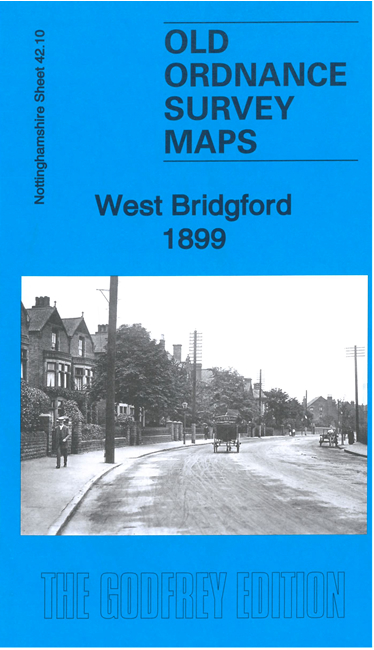
This detailed map covers West Bridgford and Wilford, immediately south of Nottingham.
Features include St Wilfrid's church, Wilford House, Wilford Cottage, Wilford Grange, the Loughborough Road area, St Giles church etc.
The map links up with Notts sheet 42.06 Nottingham South to the north.
Follow this link for a complete list of our Nottinghamshire Series maps.
You can order maps direct from our On-line Mapshop.
For other information and prices, and other areas, go to The Index Page.
Maps in the Godfrey Edition are taken from the 25 inch to the mile map and reduced to about 15 inches to the mile.
For a full list of maps for the East Midlands, return to the East Midlands page.
The Godfrey Edition / sales@alangodfreymaps.co.uk / 14 June 2021

 Here are the details of maps for West Bridgford: