
 Here are the details of maps for Nottingham (Central):


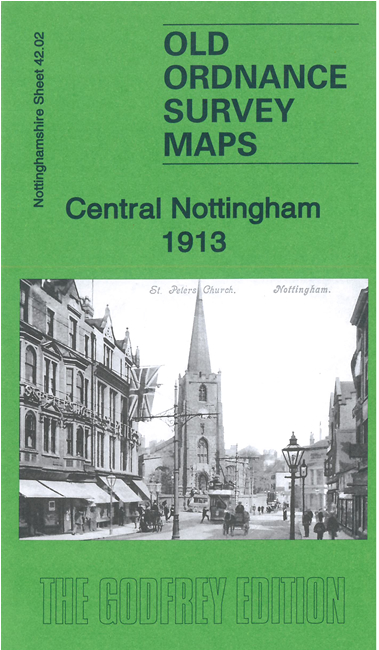
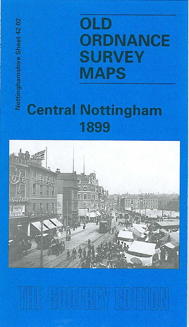
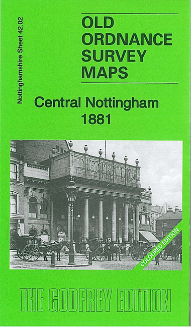
We have published three versions of this map, showing how the area developed across the years. The 1881 version is in full colour, taken from the beautiful 1st Edition OS handcoloured map.
The maps cover the heart of Nottingham in detail, with coverage stretching from Portland Road and General Cemetery eastward to Sneinton Elements and Randolph Street; and from High Pavement northward to Cranmer Street.
Features (1899 map) include Victoria station, Market Place, St Mary's church, St Philip's church, St Stephen's church, Sneinton Market, St Matthias church, St Catharine's church and cemetery, Rosehill Farm, St Ann's church, lace factories, St Barnabas RC Cathedral, Arboretum, High School, tramways, University College, lace dressing rooms, Theatre Royal, Guildhall, Music Hall, House of Refuge, St Mark's church etc. The 1881 map shows the city at an earlier stage, before Victoria station had been built. Each map included extracts from early street directories.
The map links up with Notts sheet 38.14 Nottingham North to the north, 42.01 Radford to the west, 42.03 Nottingham East to the east, and 42.06 Nottingham South to the south.