Notts Sheet 27.07 Sutton in Ashfield (S) 1914 - published 2022; intro by Barrie Trinder. ISBN.978-1-78721-471-2 
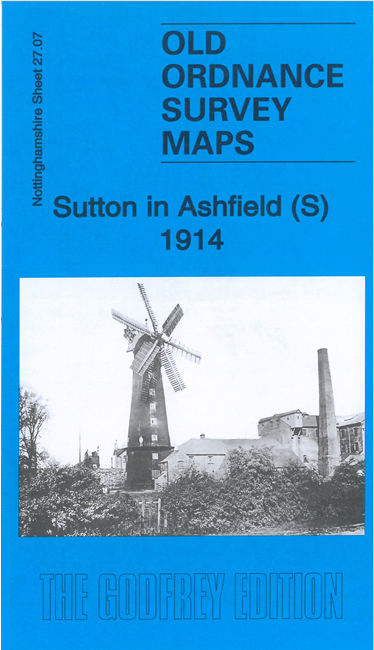
This very detailed map covers the southern part of Sutton in Ashfield.
Features include southern part of the town, from the Market Place southward; Midland Railway Nottingham & Mansfield line,
Sutton Junction, Sutton in Ashfield Branch and terminus, Kirkby Hardwick, etc
The map links up with Notts sheets 27.03 Sutton in Ashfield to the north and 27.11
Kirkby in Ashfield to the south.
Follow this link for a complete list of our Nottinghamshire Series maps.
You can order maps direct from our On-line Mapshop.
For other information and prices, and other areas, go to The Index Page.
Maps in the Godfrey Edition are taken from the 25 inch to the mile map and reduced to about 15 inches to the mile.
For a full list of maps for the East Midlands, return to the East Midlands page.
The Godfrey Edition / sales@alangodfreymaps.co.uk / 29 December 2021

 Here are the details of maps for Sutton in Ashfield south: