
Old Ordnance Survey Maps of Suffolk
We have a range of detailed maps for Suffolk towns and we also cover the whole county at the Inch to the Mile scale.
Here are the details. Each map includes an introduction.
All maps are available from our On-line Mapshop.
Between 1889-1974 Suffolk was divided into two county councils, West Suffolk and East Suffolk.
See This page for a summary of its local government history.
 These are the detailed maps we publish in Suffolk:
02.03 Great Yarmouth 1904 see Norfolk sheet 78.03.
02.07 Yarmouth South & Gorleston North 1904 see Norfolk sheet 78.07
02.11 Gorleston 1904 see Norfolk sheet 78.11
06.16 Brandon 1903 - published 2001; intro by Robert Malster
08.11 Bungay 1926 - published 2005; intro by Robert Malster
09.11 Beccles 1926 - published 2004; intro by Robert Malster
10.04 Lowestoft North 1904 - published 1998; intro by Robert Malster
10.08 Lowestoft South 1904 - published 1998; intro by Robert Malster
29.14 Southwold 1927 - published 1999; intro by Robert Malster
42.06 Newmarket1901 - published 2008; intro by Barrie Trinder
44.07a Bury St Edmunds 1884 - published 2018; intro by Pamela Taylor  44.07b Bury St Edmunds 1903 - published 1999; intro by Alan Godfrey
50.13 Saxmundham 1925 - published 2004; intro by Robert Malster
56.07 Stowmarket 1903 - published 1998; intro by Anthony Breen
59.13 Wickham Market- published 2006; intro by Robert Malster
60.16 Aldeburgh 1925 - published 2003; intro by Robert Malster
70.03 Haverhill 1902 - published 2000; intro by Robert Malster
72.07 Long Melford 1902 - published 2001; intro by Robert Malster
72.15 Sudbury 1902 - published 2000; intro by Robert Malster
74.14 Hadleigh 1904 - published 1999; intro by Robert Malster
75.11 Ipswich 1902 - published 1998; intro by Frank Grace
75.12 Ipswich East 1902 - published 1998; intro by Frank Grace
75.15 Ipswich SW 1902 - published 1999; intro by Frank Grace
75.16 Ipswich SE 1902 -published 1999; intro by Frank Grace
90.01 Felixstowe 1901 - published 1999; intro by Robert Malster
44.07b Bury St Edmunds 1903 - published 1999; intro by Alan Godfrey
50.13 Saxmundham 1925 - published 2004; intro by Robert Malster
56.07 Stowmarket 1903 - published 1998; intro by Anthony Breen
59.13 Wickham Market- published 2006; intro by Robert Malster
60.16 Aldeburgh 1925 - published 2003; intro by Robert Malster
70.03 Haverhill 1902 - published 2000; intro by Robert Malster
72.07 Long Melford 1902 - published 2001; intro by Robert Malster
72.15 Sudbury 1902 - published 2000; intro by Robert Malster
74.14 Hadleigh 1904 - published 1999; intro by Robert Malster
75.11 Ipswich 1902 - published 1998; intro by Frank Grace
75.12 Ipswich East 1902 - published 1998; intro by Frank Grace
75.15 Ipswich SW 1902 - published 1999; intro by Frank Grace
75.16 Ipswich SE 1902 -published 1999; intro by Frank Grace
90.01 Felixstowe 1901 - published 1999; intro by Robert Malster
 We also cover Suffolk in our Inch to the Mile series. Here are the principal sheets for the county.
162 Great Yarmouth & District 1908. Published 2001, intro by Robert Malster. Includes a map of Reedham.
174 Breckland 1907 Published 2001, intro by Alan Crosby. Includes a map of Lakenheath.
175 Diss & District 1907 - Published 2002, intro by Robert Malster. Includes a map of Harleston.
176 NE Suffolk 1907 - Published 2001, intro by Robert Malster. Includes a map of Wrentham
188 Cambridge, Newmarket & District 1905 - Published 2000, intro by Oliver Rackham. Includes a map of Waterbeach
189 West Suffolk (Bury & Mildenhall) 1897 - Published 2000, intro by Robert Malster. Includes a map of Ingham & Ampton
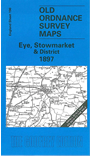
190 Eye, Stowmarket & District 1897 - Published 2001, intro by Robert Malster. Includes a map of Eye.
191 Saxmundham & District 1905 - Published 2001, intro by Robert Malster. Includes a map of Dunwich.
206 SW Suffolk 1893 - Published 2000, intro by Robert Malster. Includes a map of Wixoe.
207 Ipswich, Bildeston & District 1893 - Published 2005, intro by Robert Malster. Includes a map of Bildeston.
208 Orford Ness & Felixstowe 1905 - Published 2004, intro by Robert Malster. Includes a map of Orford.
224 NE Essex & Dedham Vale 1904 - Published 2005, intro by Robert Malster. Includes a map of Weeley.
 Most maps in the Godfrey Edition are taken from the 25 inch to the mile map and reduced to about 15 inches to the mile.
For a full list of English maps, return to the England page
You can order maps direct from our On-line Mapshop.
This list shows all our maps for the area. We try to keep a full range in print but inevitably some titles fall out of print from time to time.
These are noted in our On-line Mapshop.
Most maps in the Godfrey Edition are taken from the 25 inch to the mile map and reduced to about 15 inches to the mile.
For a full list of English maps, return to the England page
You can order maps direct from our On-line Mapshop.
This list shows all our maps for the area. We try to keep a full range in print but inevitably some titles fall out of print from time to time.
These are noted in our On-line Mapshop.
Alan Godfrey Maps, Prospect Business Park, Leadgate, Consett, DH8 7PW. Tel 01207 583388
The Godfrey Edition / sales@alangodfreymaps.co.uk / 26 September 2018
CC coat of arms: Shield_of_Suffolk.svg: Fvasconcellos (talk · contribs) derivative work: Mangwanani (talk) - Shield_of_Suffolk.svg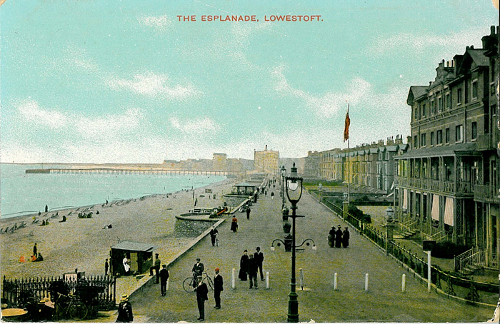 These are the detailed maps we publish in Suffolk: