Old Ordnance Survey Maps of Worcestershire
We have a range of detailed maps for Worcestershire and we also cover the whole county at the Inch to the Mile scale.
All maps are available from our On-line Mapshop.
Worcestershire County Council was formed in 1889; Dudley and Worcester became County Boroughs.
In 1974 Dudley, Stourbridge and Halesowen amalgamated as Dudley MBC, while Warley became part
of Sandwell MBC. Herefordshire and Worcestershire were joined as one county, Hereford & Worcester.
In 1998 Worcestershire became a county in its own name once again.
See This Page for more information on the county's local government history.
 These are the maps we publish in Worcestershire:
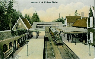
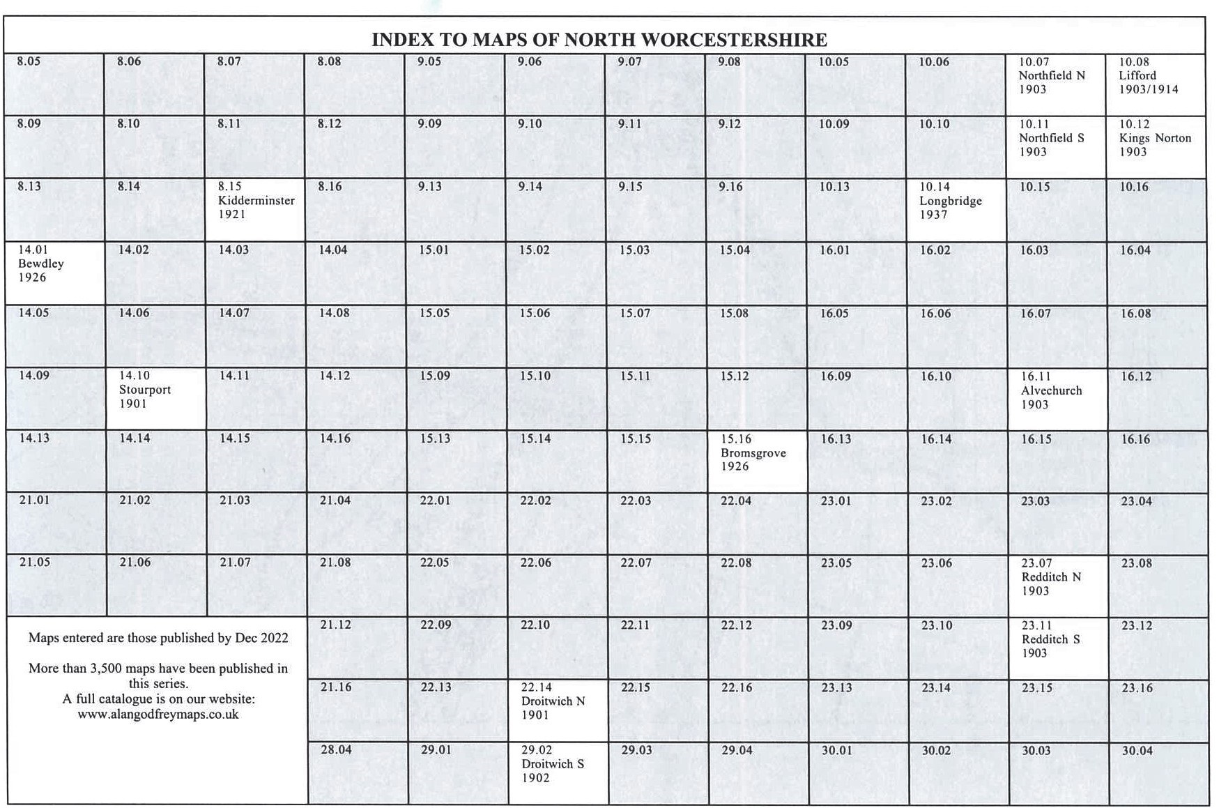
Here is an index grid for North Worcestershire.
See the Birmingham or Dudley pages for Worcestershire maps in those areas.
We cover the whole of Worcestershire in our Inch to the Mile series. Here are the principal sheets for the county:
For further details visit the One Inch page.
 Most maps in the Godfrey Edition are taken from the 25 inch to the mile map and reduced to about 15 inches to the mile.
For a full list of English maps, return to the England pageThis list shows all our maps for the county. We try to keep a full range in print but inevitably some titles fall out of print from time to time.
These are noted in our On-line Mapshop.
Most maps in the Godfrey Edition are taken from the 25 inch to the mile map and reduced to about 15 inches to the mile.
For a full list of English maps, return to the England pageThis list shows all our maps for the county. We try to keep a full range in print but inevitably some titles fall out of print from time to time.
These are noted in our On-line Mapshop.
Alan Godfrey Maps, Prospect Business Park, Leadgate, Consett, DH8 7PW. Tel 01207 583388
The Godfrey Edition / sales@alangodfreymaps.co.uk / 29 December 2023
 These are the maps we publish in Worcestershire: