Old Ordnance Survey Maps of Denbighshire
We have a range of detailed maps for Denbighshire towns and we also cover the whole county at the Inch to the Mile scale. Here are the details.
All maps are available from our On-line Mapshop.
Denbighshire County Council was formed in 1889, though the county has a history dating back to the middle ages. In 1974 it became part of the new county of Clwyd.
However in 1996 Clwyd was abolished as an administrative county and Denbighshire became a unitary authority, but covering a somewhat different area.
Rhyl and Prestatyn were transferred to Denbighshire from Flintshire, and Wrexham became a County Borough in its own right. This list follows the historic county area.
For a summary of the county's administrative history go to This Page.
 These are the maps we publish for Denbighshire:
03.03 Colwyn Bay (North) 1911 - published 2003; introduction by Derrick Pratt.
03.07 Colwyn Bay (SW) 1911 - published 2003; intro by Derrick Pratt.
03.08 Colwyn Bay (SE) & Colwyn 1911 - published 2003; intro by Derrick Pratt.
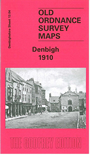
13.04 Denbigh 1910 - published 2002; intro by Derrick Pratt.
19.07 Ruthin 1910 - published 2002; intro by Derrick Pratt.
34.15 Llangollen 1910 - published 2006; intro by Derrick Pratt
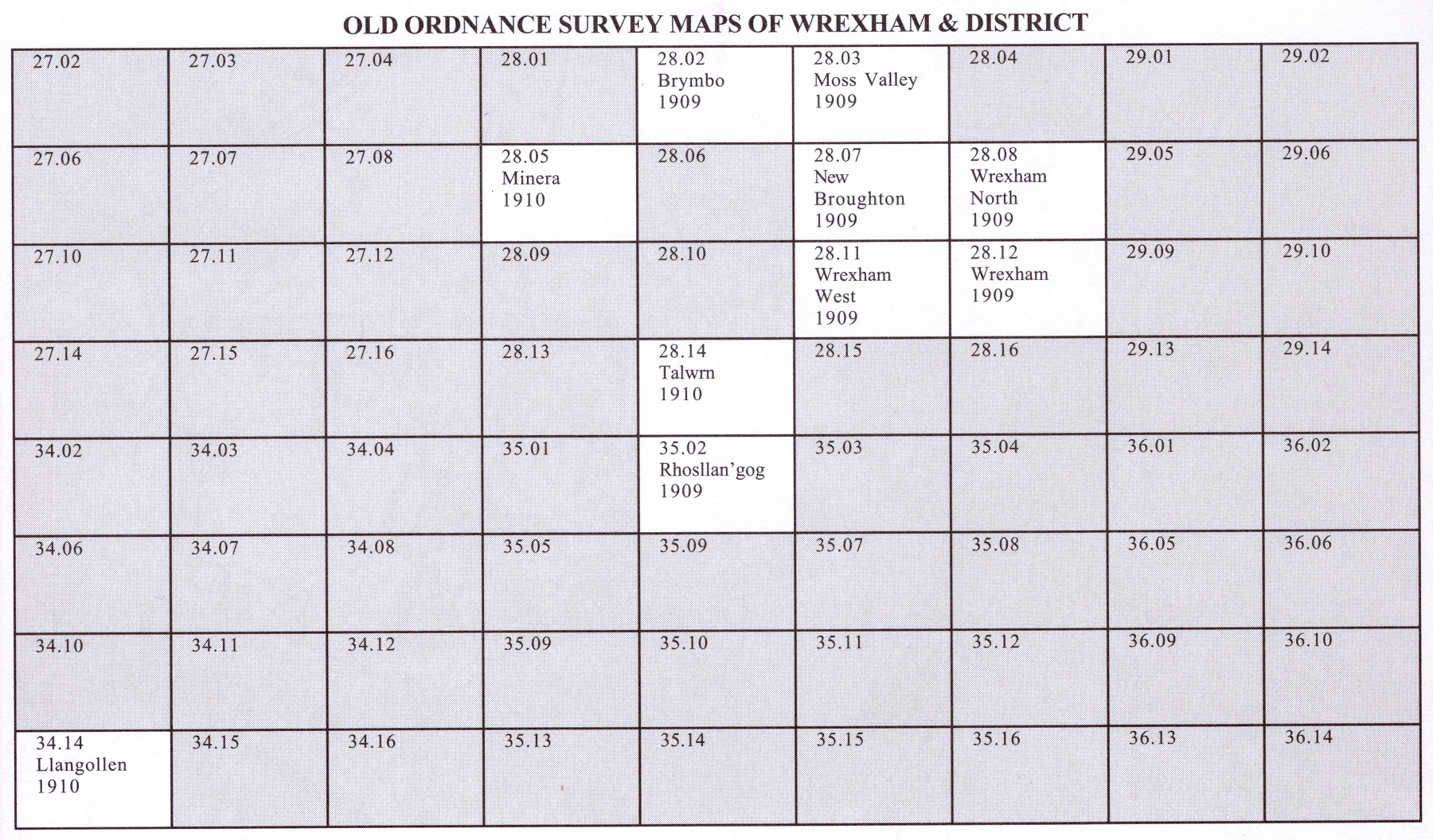
 We have an especially good group for Wrexham. Each has an introduction by Derrick Pratt.
28.02 Brymbo 1909 - published 2002
28.03 Moss Valley & Gwersyllt 1909 - published 2002
28.05 Minera 1910 - published 2003
28.07 New Broughton & Stansty Hall 1909 - published 2007
28.08 Wrexham (North) 1909 - published 2008
28.11 Wrexham West & Bersham 1909 - published 2002
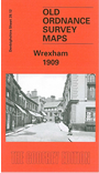
28.12 Wrexham 1909 - published 2002
28.14 Talwrn 1910 - published 2003
35.02 Rhosllanerchrugog 1909 - published 2002
Here is an Index Map to the maps of the Wrexham area.
 The county is also covered in our series of Inch to the Mile maps. These are the principal sheets for Denbighshire:
095 Rhyl & Colwyn Bay 1904 - published 2002; intro by Derrick Pratt. Includes a map of Rhuddlan.
106 Bangor, Bethesda & District 1903 - published 2003; intro by Derrick Pratt.
107 Vale of Clwyd & the Denbigh Uplands 1904 - published 2002; intro by Derrick Pratt. Includes a map of
Llanfair Talhaiarn.
108 Deeside & Central Flintshire 1904 - published 2001; intro by Vic Williams. Includes a map of
Great Saughall.
120 Cerrigydrudion, Corwen & District 1904 - published 2002; intro by Derrick Pratt. Includes a map of Llandrillo.
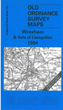
121 Wrexham & Vale of Llangollen 1904 - published 2001; intro by Derrick Pratt. Includes a map of Chirk.
137 Oswestry, Llanfyllin & District 1904 - published 2001; intro by Derrick Pratt. Includes a map of Llanfyllin.
For a full list follow this link.
 Most maps in the Godfrey Edition are taken from the 25 inch to the mile map and reduced to about 15 inches to the mile.
For a full list of Welsh maps, return to the Wales page
Most maps in the Godfrey Edition are taken from the 25 inch to the mile map and reduced to about 15 inches to the mile.
For a full list of Welsh maps, return to the Wales page
This list shows all our maps for the county. We try to keep a full range in print but inevitably some titles fall out of print from time to time.
These are noted in our On-line Mapshop (see link at the top of the page).
Alan Godfrey Maps, Prospect Business Park, Leadgate, Consett, DH8 7PW. Tel 01207 583388
The Godfrey Edition / sales@alangodfreymaps.co.uk / 5 May 2022