

 Here are details of the map for SE Wolverhampton:

We have published three versions of this map, showing how the area changed across the years.
The maps cover the SE part of Wolverhampton, including Monmore Green and much of St George's and St Matthew's Wards. Coverage extends from St George's Parade eastward to East Park, and from Horseley Fields southward to Napier Road.
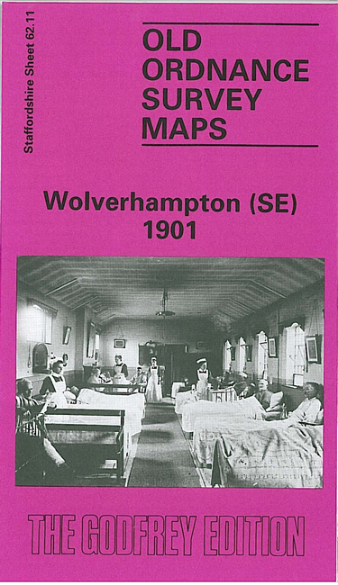
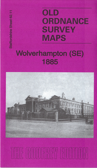
Features include St George's church, St James's Square, Staffordshire General Hospital, tramways and depot, Borough Hospital, Green Lane Cooperage Works, All Saints church, Birmingham Canal, Wolverhampton Union Workhouse, LNWR Stour Valley line with Monmore Green station, GWR line with Walsall Street Branch, St James's church, Shrubbery Basin, Chillington Wharf, many other works, Chillington Cottages, East Park, part of Priestfield, brick works, old coal shafts etc.
The map links up with Staffordshire sheets 62.06 Wolverhampton NE to the north, 62.10 Wolverhampton SW to the west, 62.12 Willenhall SW to the east and 62.15 Ettingshall to the south.