 Here are details of the map for Ettingshall:

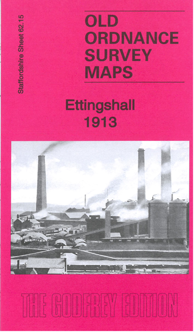
We have published two versions of this map, showing how the area changed across the years. The maps cover the Ettingshall area, SE of Wolverhampton, and also include Millfields, Parkfield and Spring Vale.
Features include LNWR Stour Valley line with Ettingshall Road station, Ettingshall Colliery, Ettingshall Park Colliery, Park Hill, Sedgley Park Colliery (disused), Cockshutts Colliery, Parkfield Colliery, brick works, old mine shafts, Lanesfield, Lanesfield Colliery, Manor Iron & Steel Works, Staffordshire Steel & Ingot Iron Works, Spring Vale Furnaces, Ettingshall Lodge Colliery, Millfield Works, Bilston Gas Works, Freezelands, short stretch of GWR railway with Priestfield station, New Village, Mars Iron Works, Birmingham Canal (Wolverhampton Level), Rough Hills, Holy Trinity church, Bilston Flour Mill, Springvale Foundry, tramway, etc.
The maps link up with Staffordshire sheets 62.11 Wolverhampton SE to the north, 62.14 Upper Penn to the west, 62.16 Bilston to the east, 67.03 Sedgley NE to the south.