Old Ordnance Survey Maps of Wolverhampton

  • These detailed maps normally cover an area of about one and a half miles by one mile. Each map includes an introduction.
  • They are available through our On-line Mapshop

  • Here are details of the map for SW Willenhall:

  • Staffordshire 62.12a Willenhall (SW) 1901 - published 1996; intro by Horace Davis. ISBN.978-0-85054-832-7
  • Staffordshire 62.12b Willenhall (SW) 1913 - published 2021; intro by Barrie Trinder. ISBN.978-1-78721-410-1

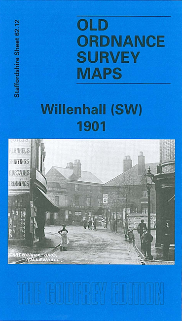
    We have published two versions of this map, showing how the area changed across the years. Each coversthe western part of Willenhall, with coverage extending westward to St Matthias church Moseley, and southward to Bilston Cemetery.

    Features include LNWR Grand Junction Line with Willenhall station, tramway, Market Place, St Stephen's church, Albion Wire Works (disused), Summerford Place, Portobello area, Bunker's Hill, Bunker's Hill Colliery, Green Lanes, Bilston Cemetery, Moseley Hole Farm, Moseley. Most of the map is littered with old coal shafts, old coal workings and the line of old industrial tramways.

    The map links up with Staffordshire sheets 62.08 Willenhall NW to the north, 62.11 Wolverhampton SE to the west, 63.09 Willenhall to the east and 62.16 Bilston to the south.


  • Follow this link for a complete list of our Wolverhampton or Walsall maps; or here for the whole West Midlands series.
  • You can order maps direct from our On-line Mapshop. For other information and prices, and other areas, go to The Index Page.
  • Maps in the Godfrey Edition are taken from the 25 inch to the mile map and reduced to about 15 inches to the mile. For a full list of maps for England, return to the England page.
    Alan Godfrey Maps, Prospect Business Park, Leadgate, Consett, Co Durham, DH8 7PW / sales@alangodfreymaps.co.uk / 5 March 2021