
 Here are details of the map for NE Wolverhampton:

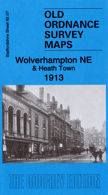
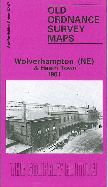
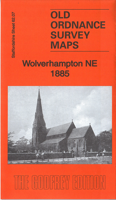
We have published three versions of this map, showing how the area changed across the years. They cover the NE part of Wolverhampton, with coverage extending from Canal Street and Southampton Street eastward to Wolverhampton Workhouse.
Features include the Five Ways area of town, in SW corner of map; LNWR railway with High Level station, GWR railway with Low Level station, Cannock Road Junction, Midland Railway with Heath Town station, Heath Town area, Osier Bed Iron Works, Birmingham Canal, Springfield Brewery, electrical works, Old Heath Colliery (disused), Culwell Works, stretch of LNWR Grand Junction Line, Park Village, Deans Colliery, Bowman's Harbour Colliery, New Cross, Wolverhampton Workhouse, Cleveland Works, New Griffin Works, Springfield area, Wyrley & Essington Canal, etc. On the reverse we include extracts from early directories.
The map links up with Staffordshire sheets 62.06 Wolverhampton NW to the west, 62.08 Willenhall NW to the east and 62.11 Wolverhampton SE to the south.