

 Here are details of the map for SW Wolverhampton:

We have published two versions of this map, showing how the area changed across the years.
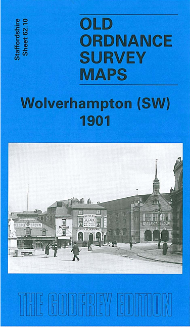
The maps cover the SW part of Wolverhampton, including part of the town centre and much of Merridale, Graiseley and Blakenhall Wards. Coverage extends from Snow Hill westward to Bradmore, and from Darlington Street southward to Copthorne Road.
Features include St John's church, RC Chapel, tramways, busy town centre area around and to west of Snow Hill, Agricultural Hall, St Joseph's Convent, Elgin Works, Royal Orphanage, St Luke's church Blakenhall, Niphon Works, schools, Graiseley Old Hall, Goldthorn Terrace, The Oaks, Cemetery, Bradmore area, Dead Lad's Grave, Merridale House, Old Merridale Farm etc.
The map links up with Staffordshire sheets 62.06 Wolverhampton NW to the north, 62.09 Finchfield to the west, 62.11 Wolverhampton SE to the east and 62.14 Upper Penn to the south.