 Old Ordnance Survey Maps of North Lancashire and the FyldeOld Ordnance Survey Maps of North Lancashire and the Fylde
 We have a good range of maps for North Lancashire, including Blackpool, Lancaster and Preston. This page also includes Chorley. The area is also covered in our Inch to the Mile series.
Here are the details.
We have a good range of maps for North Lancashire, including Blackpool, Lancaster and Preston. This page also includes Chorley. The area is also covered in our Inch to the Mile series.
Here are the details.
All maps are available from our On-line Mapshop or from selected bookshops in the area.
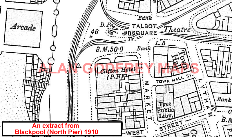
The following maps are taken from the OS 25" maps and reduced to a scale of approximately 15 inches to the mile. They are extremely detailed, showing individual houses, details such as railway tracks, pathways, pubs, factories and even minutiae such as fountains and signal posts. Obviously they cover quite a small area, normally a mile by a mile and a half each. Each map includes an introduction. For further details click on the links below.
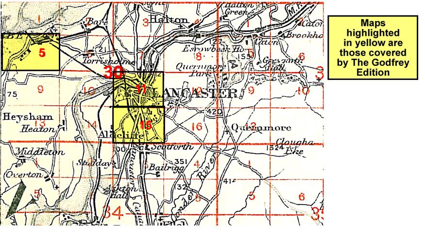
 We start with the north of the county, with Morecambe and Lancaster:
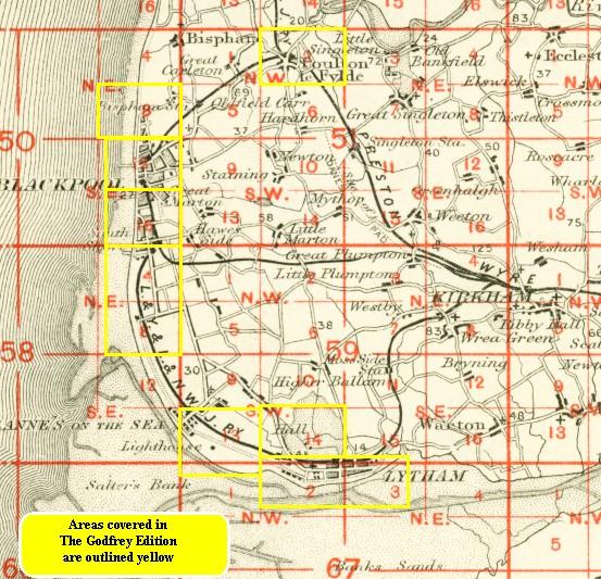
 Here are our maps for the Fylde itself:

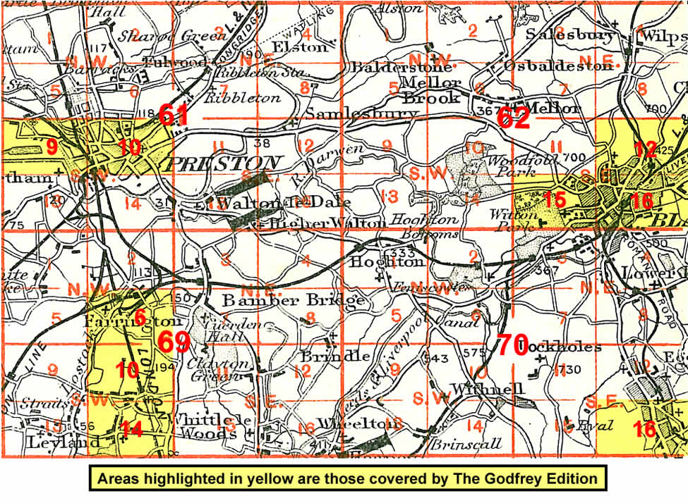
 Finally, our maps for the Preston and Chorley area:
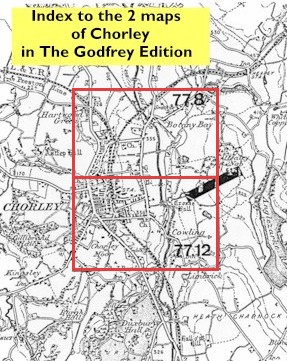
You might find these index maps useful:
 We also cover the area in our Inch to the Mile maps. These are the principal sheets for the area:
Follow this link for further details of the Inch to the Mile maps.
