
 Here are the details of maps for Fleetwood:


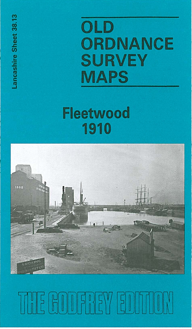
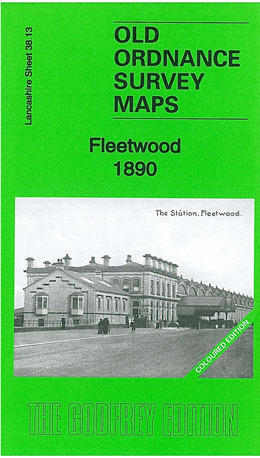
We have published two versions of this detailed map, showing how the area changed over the years. The 1890 version is in full colour, taken from the beauitiful 1st Edition OS handcoloured map.
The maps cover most of the town in great detail and coverage extends southward to Wyre Street, westward to Cemetery Lane. Major features include the town centre shown in detail with all individual buildings; Wyre Dock with sidings, fish packing sheds, warehouses etc; North Lancashire Saw Mills, tramways with two tramcar sheds, Warrenhurst, cemetery, The Hutments, The Mount, Pharos Place with lighthouse, North Euston Hotel, Quay, China Clay Warehouse. Railway information includes track layout with Wyre Dock and Fleetwood stations. We include some extracts from contemporary directories on both maps.