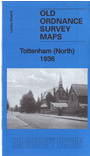
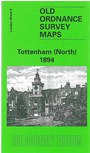
 Here are the details of maps for Tottenham (N):

We have published two versions of this map, showing how the area changed across the years.
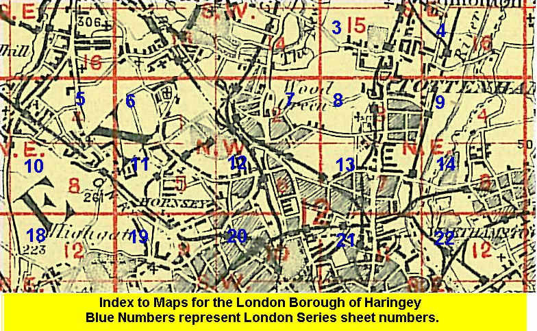
The map covers the northern part of Tottenham, an area stretching from Bruce Grove northward to the border with Edmonton, eastward to Chalgrove Road. Features on the map include Bruce Castle and Bruce Castle Park, All Hallows church, Bell Brewery, Tottenham Cemetery, White Hart Lane, a stretch of the GER Enfield Branch, High Road running through the map with tramway, St Mary's church, Park Lane, Carbuncle Ditch.
The map links up with London Sheets 3 Upper Edmonton to the north, 7 Wood Green to the west, 9 Tottenham Marsh to the east, and 13 Tottenham to the south.
 Follow this link for a list of our maps for the London Borough of Haringey, or here for a complete list of our London maps .