We have published more than 1,800 maps in our series of Old Ordnance Survey Map reprints, some 300 of them in the London area. The maps are highly detailed. They are taken from the OS 1:2,500 (or 25 inch) maps and reduced to about 15 inches to the mile. They show streets with individual houses, tram tracks, railway tracks and even signals, factories, wharves and such details as fountains and water troughs. They will provide hours of fascination for historians and genealogists. The maps are neatly folded and each includes a specially written introduction to the area. Maps can be purchased on our On-line Mapshop where further information about titles is given. For other information and Prices, see Index Page.
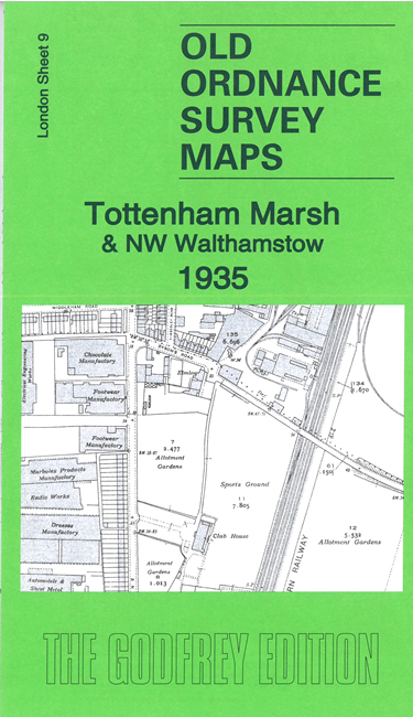
Here are the details of maps for Tottenham Marsh:
We have published just the one version of this map. It covers a little populated area of the Tottenham Marsh with the River Lea, Lea Navigation, and Coppermill Stream running through the map. A few streets of Higham Hill, incl Manor Road and Mayfield Road, are at the foot of the map, and a few Tottenham streets, especially Willoughby Lane are at the left side. Features include Park (later Northumberland Park) station, Tottenham & Edmonton gasworks, Stonebridge Lock, Blackhorse Lane, Billet Road, Moon's Farm. On the reverse we include the GER railway timetable for the Hertford-Liverpool St line in 1915.
An index map showing the areas covered by this and adjacent maps is available here. The map links up with London Sheets 4 Edmonton SE to the north, 8 Tottenham North to the west, and 14 Walthamstow West to the south.
Follow this link for a complete list of our London maps .
You can order maps direct from our On-line Mapshop. For other information and Prices, see Index Page.
Maps in the Godfrey Edition are taken from the 25 inch to the mile map and reduced to about 15 inches to the mile. For a full list of maps for London, return to the London page.
The Godfrey Edition / godfreyedition@btinternet.com / 18 August 2005