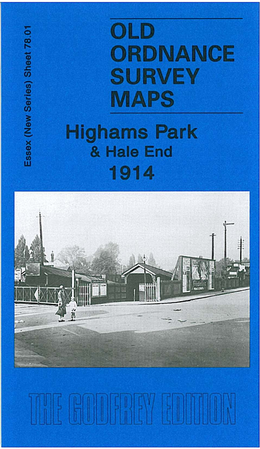
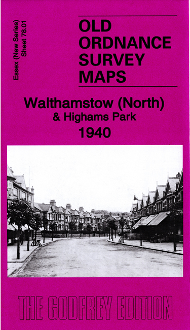
Essex (New Series) 78.01 Walthamstow North & Highams Park 1940 - published 2020; intro by Alan Godfrey. ISBN.978-1-78721-334-0 
We have published two versions of this map, showing how the area developed across the years. Despite the different titles, they cover the same area.
The maps cover the area from Highams Park station southward to Macdonald Road, Walthamstow. Features include Hale End, part of Epping Forest,
Chapel End, Rowden Park, Xylonite Works, Selwyn Avenue with schools, Salisbury Hall, tramway.
Each map includes extracts from an early directory together with a specially written introduction to the history of the area.
Follow this link for a list of our maps for the London Borough of Waltham Forest, or here for a complete list of our 'Essex-in-London' maps .
You can order maps direct from our On-line Mapshop.
For other information and prices, and other areas, go to The Index Page.
Maps in the Godfrey Edition are taken from the 25 inch to the mile map and reduced to about 15 inches to the mile.
For a full list of maps for England, return to the England page.
Alan Godfrey Maps, Prospect Business Park, Leadgate, Consett, Co Durham, DH8 7PW / sales@alangodfreymaps.co.uk / 4 July 2020

 Here are the details of maps for Highams Park: