 Here are the details of maps for Tottenham:

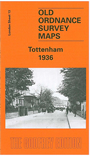
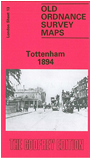
We have published two versions of this map, showing how the area changed across the years. Both maps cover the same area. This covers the southern half of Tottenham, an area stretching from South Tottenham station northward to Bruce Grove station, and from Abbotsford Avenue eastward to the GER railway. Features include Seven Sisters station, West Green station, Tottenham Hale, Page Green, St Ann's, Tottenham brewery, tramways, The Green, General Hospital, Clyde Circus, Downhills Park, Tottenham High School, and the many streets either side of the High Road. The 1936 map shows several industrial sites at Tottenham Hale, including cabinet works, shoe factories and Basildon stationery works.
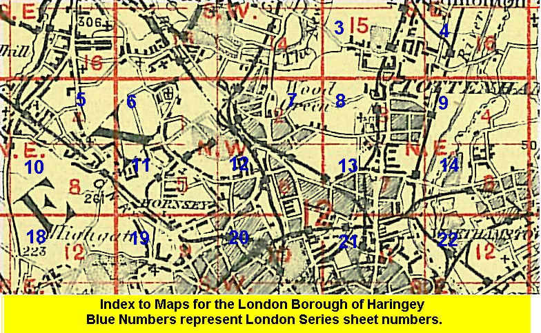
The map links up with London Sheets 8 Tottenham North to the north, 12 Hornsey to the west, 14 Walthamstow West to the east, 21 Stamford Hill to the south.
 Follow this link for a list of our maps for the London Borough of Haringey, or here for a complete list of our London maps .