We have published more than 1,800 maps in our series of Old Ordnance Survey Map reprints, some 300 of them in the London area. The maps are highly detailed. They are taken from the OS 1:2,500 (or 25 inch) maps and reduced to about 15 inches to the mile. They show streets with individual houses, tram tracks, railway tracks and even signals, factories, wharves and such details as fountains and water troughs. They will provide hours of fascination for historians and genealogists. The maps are neatly folded and each includes a specially written introduction to the area. Maps can be purchased on our On-line Mapshop where further information about titles is given. For other information and Prices, see Index Page.
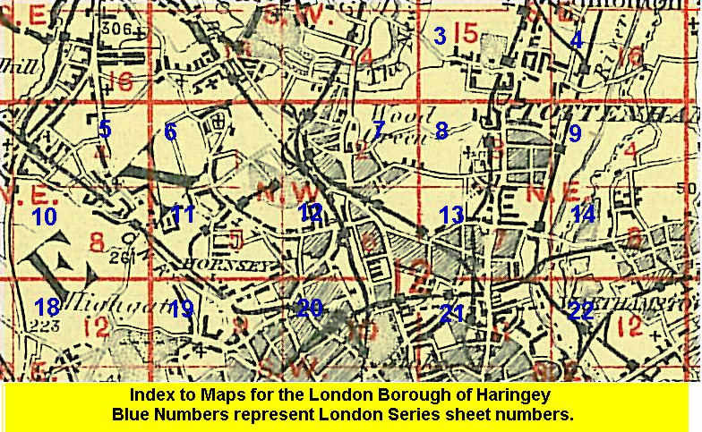
Here are the details of maps for Hornsey:
We have published two versions of this map, each covering the same area and so showing how it changed across the years. The map covers an area stretching form Crouch End Broadway and Nightingale Lane eastward to Etherley Road, and from Coburg Road and Willingdon Road southward to Pemberton Road. High Street, Turnpike Lane and West Green Road run through the map west-east, while High Road and Green Lanes run through it north-south, as does the main GNR line, including Hornsey station and Ferme Park Sidings. Features include Ducketts Common, tramways, the New River, part of the GER Alexandra Park branch, North Haringey Ward, part of Alexandra Park race course, and the Wood Green Empire (whose opening was boycotted by local clergymen in 1912). This was a comparatively new and remarkably healthy suburb - in 1906 Hornsey had the lowest death rate of any large town in England. Estates here include the Harringay House estate, between the railway, Turnpike Lane and Green Lanes; and Hornsey Vale.
An index map showing the areas covered by this and adjacent maps is available here. 
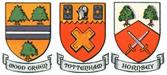
The map links up with London Sheets 7 Wood Green to the north, 11 Muswell Hill to the west, 13 Tottenham to the east, and 20 Finsbury Park to the south.
Follow this link for a complete list of our London maps .
You can order maps direct from our On-line Mapshop. For other information and Prices, see Index Page.
Maps in the Godfrey Edition are taken from the 25 inch to the mile map and reduced to about 15 inches to the mile. For a full list of maps for London, return to the London page.
The Godfrey Edition / godfreyedition@btinternet.com / 24 Nov 2005