
 Here are the details of maps for Upper Edmonton:

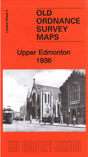
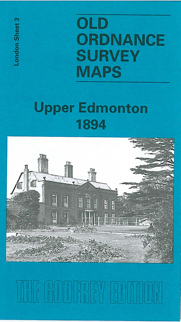
We have published two versions of this map, showing how the area changed across the years.
Each covers the SW and central area of Edmonton, including Upper Edmonton, stretching from Weir Hall and Hedge Lane eastward to Brettenham Road and Angel Road, and from Knights Lane and the Town Hall southward to Grove Street and Union Road. It is dominated by a mile long stretch of the main road, Upper Fore Street and Lower Fore Street.
Features include tramways, St David's Hospital, Pymmes Park, Workhouse, North Middlesex County Hospital, cinemas, St James church, silk factory, Town Hall, etc.
Each map includes extracts from an early directory together with a specially written introduction to the history of the area.
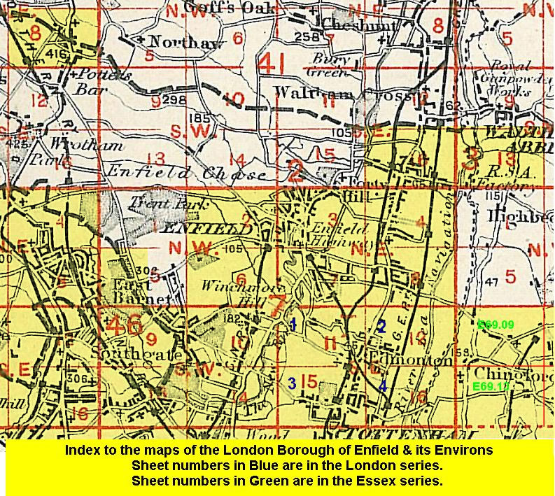
The map links up with London Sheets 1 Lower Edmonton to the north, Middlesex 7.14 Palmers Green to the west, 4 Edmonton SE to the east, and 8 North Tottenham to the south.
 Follow this link for a list of our maps for the London Borough of Enfield, or here for a complete list of our London maps .