
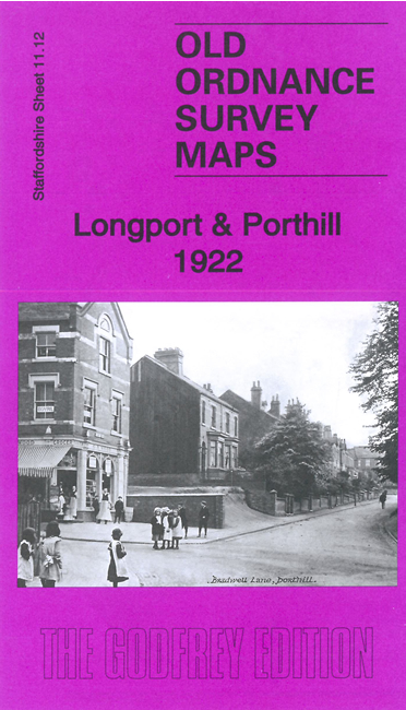
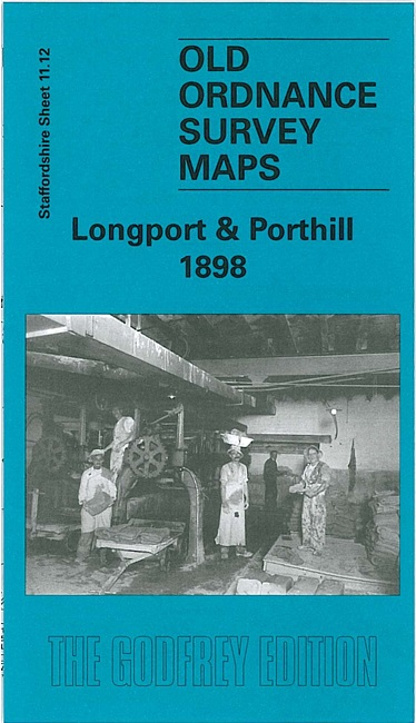
 Here are the details of maps for Longport:

These detailed map cover the Porthill area of Wolstanton and the Longport and Middleport area of Burslem. We have published two versions, showing how the area changed across the years.
The many features include a stretch of the North Staffordshire Railway with Longport station, Midland Tileries, White Hall Works, Longbridge Hayes, gas works, Bradwell Wood Farm, Unicorn Works, Longport area, Dale Hall Works, stretch of Trent & Mersey Canal, Middleport Pottery, New Bridge Pottery, Pitgreen Farm, Porthill village with St Andrew's church, Porthill House, Bradwell Hall, infectious diseases hospital, Beazley House, etc. On the reverse we include excerpts from contemporary directories and specially written introductions to the history of the area.
The map links up with Staffordshire Sheets 11.08 Tunstall to the north, 12.09 Burslem to the east, 11.11 Chesterton to the west and 11.16 Wolstanton to the south.
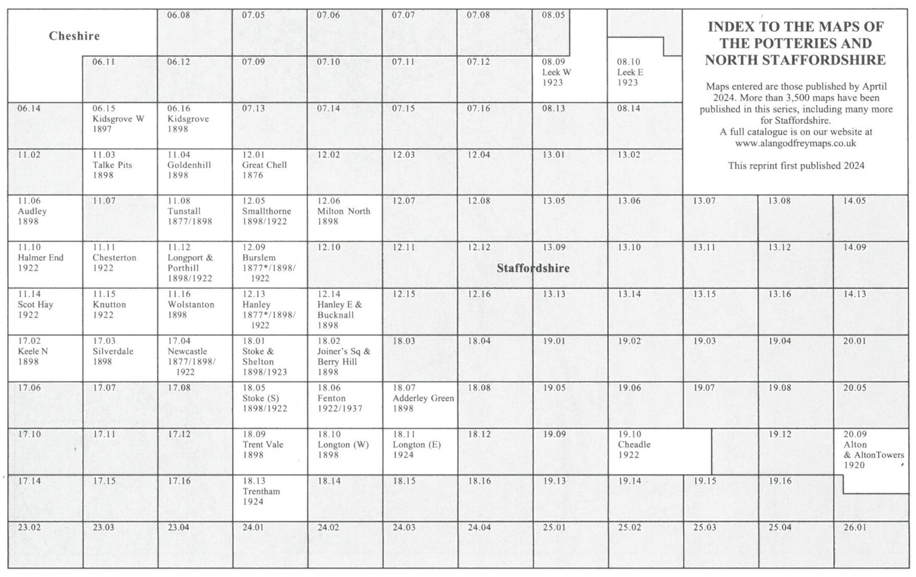
You might find this Index Map useful.