 Here are the details of maps for Burslem:


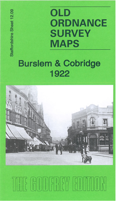
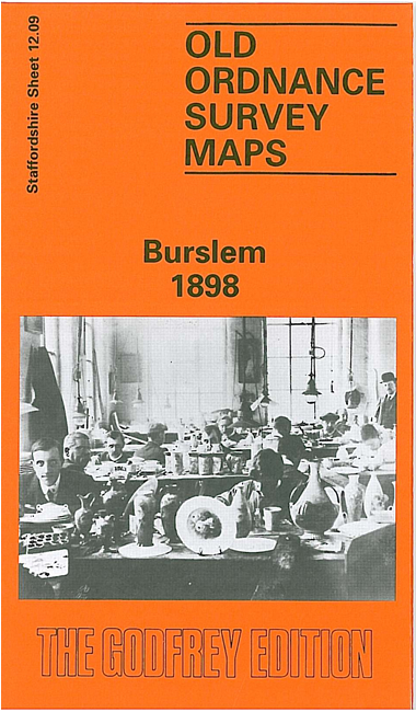
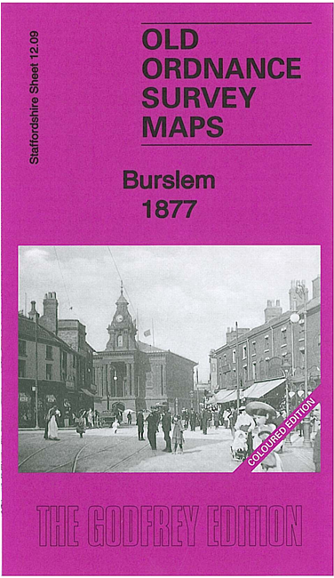
We have published three versions of this map, showing how this busy area changed across the years. The 1877 version is in full colour, taken from the beautiful 1st edition handcoloured edition.
The maps cover most of Burslem, one of the Potteries 'Six Towns', together with the smaller settlements of Cobridge and Sneyd Green. Coverage stretches from Newport Lane eastward to Burslem Cemetery, and from Moor Lane southward to Port Vale football ground.
The many features include NSR Potteries Loop Line with Cobridge and Burslem stations, stretch of Trent & Mersey Canal, Burslem Canal, St Paul's church, Newport Pottery, Mersey Pottery, numerous earthenware manufactories, Hill Works, Town Hall, Butchers' Market, St John's church, NSR Grange Branch, Grange Colliery, Grange Farm, Sneyd Colliery & Brick Works, Adelaide Pottery, Port Vale Football Ground, Haywood Home hospital, old coal shafts, Burslem Cemetery, old ironstone shafts, Sneyd Green, tramways, etc.
The map links up with Staffordshire Sheets 12.05 Smallthorne to the north, 11.12 Longport to the west, and 12.13 Hanley to the south.
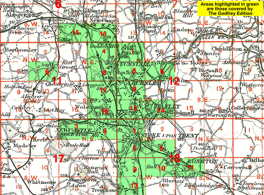
You might find this Index Map useful.