
 Here are the details of maps for Wolstanton:

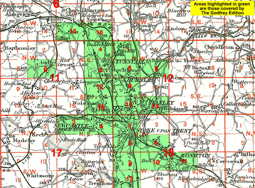
This detailed map covers the village of Wolstanton, which is sandwiched between Burslem and Newcastle under Lyme. Features include most of the actual village, plus the hamlets of May Bank and Crossheath. Other features include Highfields Tileries, disused canals and, at the top of the map, Dimsdale. An 1893 directory of Wolstanton is included on the reverse.
The map links up with Staffordshire Sheets 11.12 Longport to the north, 12.13 Hanley to the east, 11.15 Knutton to the west and 17.04 Newcastle-u-Lyme to the south.
You might find this Index Map useful.