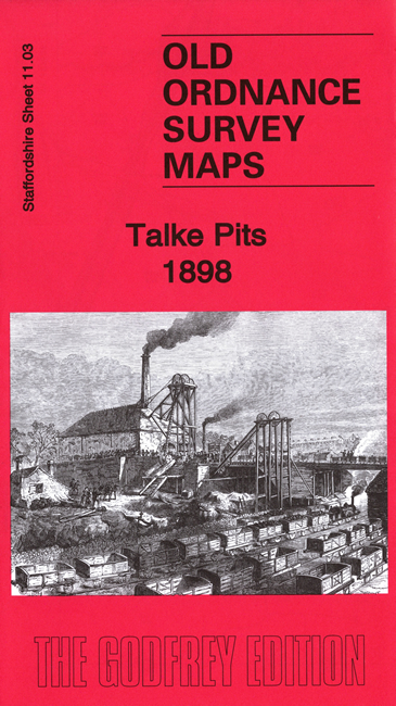
Staffordshire Sheet 11.03 Talke Pits 1898 - published 2020; intro by Barrie Trinder. ISBN.978-1-78721-353-1
This detailed map covers Talke, Talke Pits and the area SW of Kidsgrove.
Features include three branches of the North Staffordshire Railway - Talk o' th' Hill Branch, Jamage Branch, Audley Branch - and three collieries - Birchenwood,
Jamage, Talk o'th' Hill, as well as the village of Talke Pits which is in the centre of the maps. Talke village is at the top of the map.
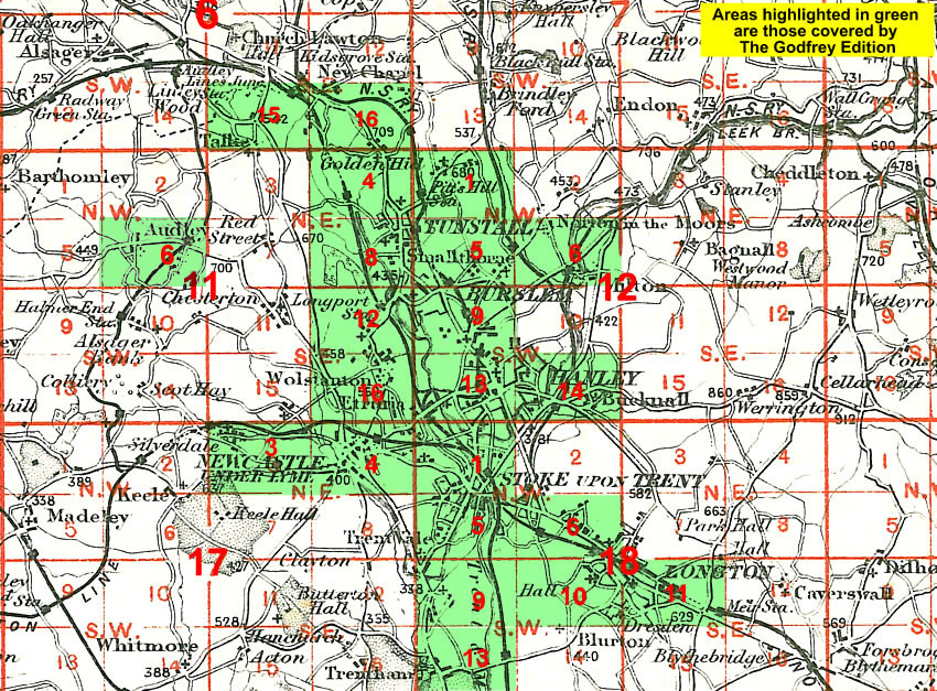
The map links up with Staffordshire Sheets 6.15 Kidsgrove W to the north, 11.04 Goldenhill to the east.
You might find this Index Map useful.
For a full list of maps of Staffordshire, please go to the Staffordshire page or the
Potteries page.
You can order maps direct from our On-line Mapshop.
For other information and prices, and other areas, go to The Index Page.
Maps in the Godfrey Edition are taken from the 25 inch to the mile map and reduced to about 15 inches to the mile.
For a full list of maps for England, return to the England page.
Alan Godfrey Maps, Prospect Business Park, Leadgate, Consett, Co Durham, DH8 7PW /
sales@alangodfreymaps.co.uk / 8 September 2020

 Here are the details of the map for Talke: