
 Here are the details of the map for west Kidsgrove:

This detailed map covers the wesatern part of Kidsgrove, with coverage stretching from Kidsgrove and Harecastle stations westward to Butt Lane, Coalpit Hill and Swallowmoor Wood.
Features include Linleywood, Slum Wood, Bunkers Hill Colliery with mineral line and tramway, Coalpit Hill, Hollins, St Saviour's church, Butt Lane, Woodshutts Colliery, Hollin's Wood Colliery (disused), Lowerash Farm, Slappenfield Coal Pit (disused), Hardings Wood, Harecastle station, Albion Foundry, Potteries Loop Line with Kidsgrove station, etc. A list of private residents for Kidsgrove, from a 1912 directory, is included on the reverse.
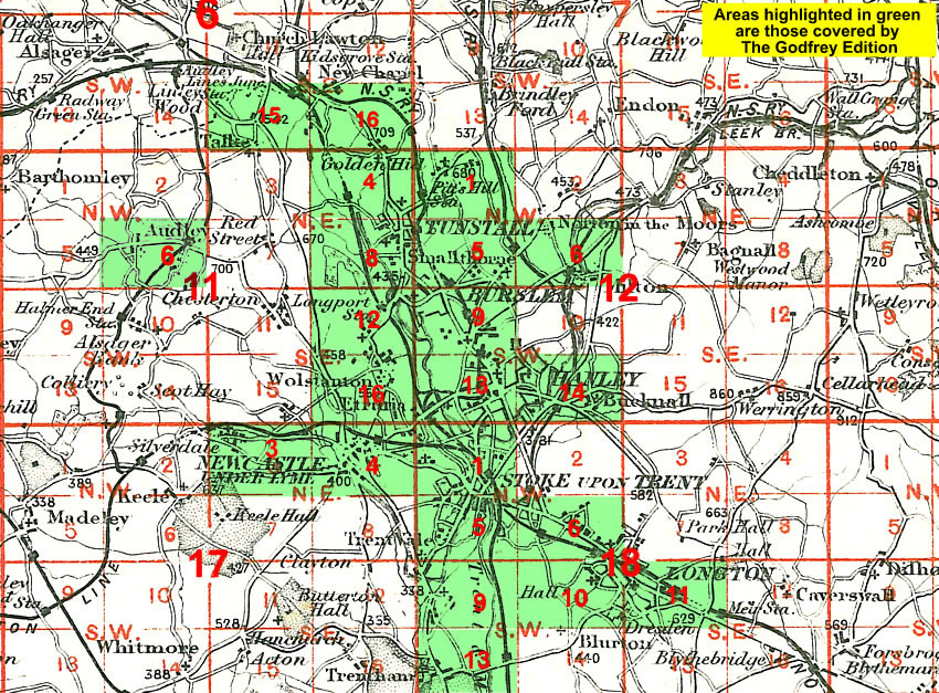
The map links up with Staffordshire Sheets 6.16 Kidsgrove to the east, 11.03 Talke Pits to the south.
You might find this Index Map useful.