
Old Ordnance Survey Maps of London
These detailed maps maps normally cover an area of about one and a half miles by one mile. Each map includes an introduction. The London maps link up with those for Middlesex to form a major series for the Greater London area. They
are available through our On-line Mapshop
 Here are the details of maps for Silvertown:
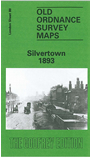
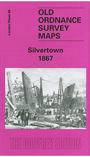
London Sheet 80.1 Silvertown 1867 - published 2006; intro by Alan Godfrey. ISBN.978-1-84151-861-9  London Sheet 80.2 Silvertown 1893 - published 1986; intro by Howard Bloch. ISBN.978-0-85054-073-4
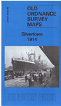
London Sheet 80.3 Silvertown 1914 - published 2016; intro by Barrie Trinder. ISBN.978-1-84784-981-6
London Sheet 80.2 Silvertown 1893 - published 1986; intro by Howard Bloch. ISBN.978-0-85054-073-4
London Sheet 80.3 Silvertown 1914 - published 2016; intro by Barrie Trinder. ISBN.978-1-84784-981-6
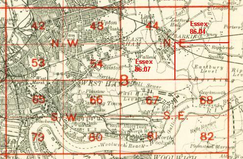
We have published three versions of this map showing how the area changed across the years. The map covers the area around and to the south of the Royal Victoria Dock including the many wharves
of Silvertown. Just the waterfront of the south shore of the Thames is shown, including Angerstein's Wharf.
The attractive 1867 maps shows the area at an early stage, with the Victoria Dock quite recently opened (in 1855), the graving dock,
also Silvertown works of India Rubber Gutta Percha co, and St Mark's church.
The 1893 and 1914 map shows much more development. These include Odam's Wharf, Clyde Wharf, Hall's Wharf, Plaistow Wharf, Manhattan Wharf, Prince Regent's Wharf, and Tay Wharf. Also various works or factories, including the sugar refineries of Henry Tate and Abram Lyle, whose firms merged in 1921. At Crescent Wharf is the chemical works of Brunner
Mond, later an explosives works which exploded in 1917. Other features include North Woolwich Road and many warehouses, railway sidings, and a few cramped streets of terraces.
The map links up with London Sheets 66 Canning Town to the north, 79 West India Docks to the west, 81 North Woolwich to the east, and 93 Charlton
to the south.
 Follow this link for a complete list of our London maps .
On-line Mapshop.
For other information and prices, and other areas, go to The Index Page.
Follow this link for a complete list of our London maps .
On-line Mapshop.
For other information and prices, and other areas, go to The Index Page.
Maps in the Godfrey Edition are taken from the 25 inch to the mile map and reduced to about 15 inches to the mile.
For a full list of maps for England, return to the England page.
Alan Godfrey Maps, Prospect Business Park, Leadgate, Consett, Co Durham, DH8 7PW / sales@alangodfreymaps.co.uk / 17 May 2016
 Follow this link for a complete list of our London maps .