
 Here are the details of maps for Battersea & Fulham:

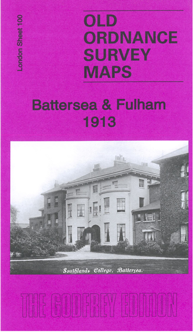
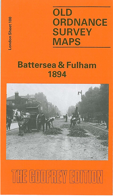
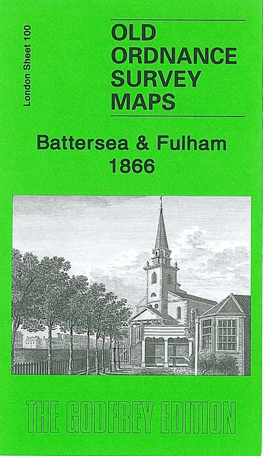
We have published three versions of this map, showing how the area developed across the years.
The maps cover part of Fulham on the north side of the Thames, Battersea on the south. Coverage stretches from Eel Brook Common eastward to Albert Road and Latchmere Road, from Chelsea Creek southward to the northern tip of Clapham Junction station. Features on the Fulham side include (on the 1894 version) Sands End, Chelsea Basin, Imperial Road, Town Mead Road, Wandsworth Bridge Road (more of Fulham is on sheets 86 and 99); some streets, eg Stephendale Road, are still being laid out. The Battersea side is much busier, and includes (1866 version) St Mary's church, Belmont Works, Christ Church, St John's College, the north/east part of Clapham Junction station, Battersea New Bridge, West London Extension Railway, incl Battersea station.
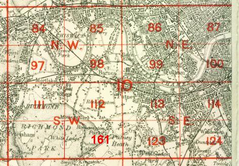
The map links up with London Sheets 87 Chelsea to the north, 99 Putney Bridge to the west, 101 Battersea & Clapham to the east, and 114 Wandsworth to the south.
 Follow this link for a complete list of our London maps .