
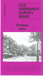
 Here are the details of maps for Chelsea:
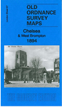
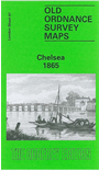

We have published three versions of this map, showing how the area developed across the years. The maps each cover the same area, an area stretching from Stamford Bridge football ground eastward to Sloane Avenue and Royal Avenue; and from Harrington Gardens southward to Battersea Bridge. Features include the Kings Road, Beaufort Street, Sydney Street, Fulham Road, Old Brompton Road, Sutton Model Dwellings, Cheyne Walk, Albert Bridge, Cadogan Pier, Moravian Burial Ground, Town Hall, Chelsea Workhouse, St Luke's church, St George's (later Union) Workhouse, Brompton Cemetery, The Boltons, West Brompton station, Walham Green station, Chelsea station, Western Hospital, St Mark's College. Earls Court station is in the NW corner. A small portion of Battersea Park is in the SE corner.
The 1894 version includes extract extracts from an 1892 street directory, for Cheyne Walk, King's Road, Sydney Street and Tite Street.
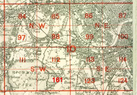
The map links up with London Sheets 74 Kensington to the north, 86 Hammersmith & Fulham to the west, 88 Pimlico to the east, 100 Battersea & Fulham to the south.
 Follow this link for a complete list of our London maps .