
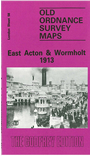
 Here are the details of maps for East Acton:

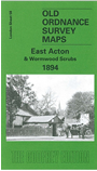
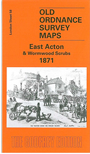
We have published three versions of this map, showing how the area developed across the years. The maps all cover the same area, with coverage extending from Goldsmith Avenue eastward to Ellerslie Road, and from Friars Place Farm southward to Acton Park. The 1871 map shows a rural area, with the village of East Acton surrounded by fields; features include the Manor House, The Grange, Goldsmiths Almshouses, Acton station, Old Oak Common Lane, Friars Place, Friarsplace Farm, Wormholt Farm, Old Oak Farm. The two subsequent maps are progressively more built up although much open land survives even in 1913. Features by then include part of Acton Park, Acton Isolation Hospital, St Dunstan's church, Wormwood Scrubs prison (largely left blank for security reasons), Hammersmith Workhouse, Wormholt Park, a few Hammersmith streets around Dunraven Road, western part of the White City.
The 1871 map includes an 1894 six-inch map of the area on the reverse. The 1894 map has a good selection of street directory entries. The 1913 map has an 1855 Inch to the Mile map of the Ealing, Acton and west London area.
The map links up with London Sheets 46 Willesden Jct to the north, 57 Acton Town to the west, 59 Notting Hill to the east, and 72 North Hammersmith to the south
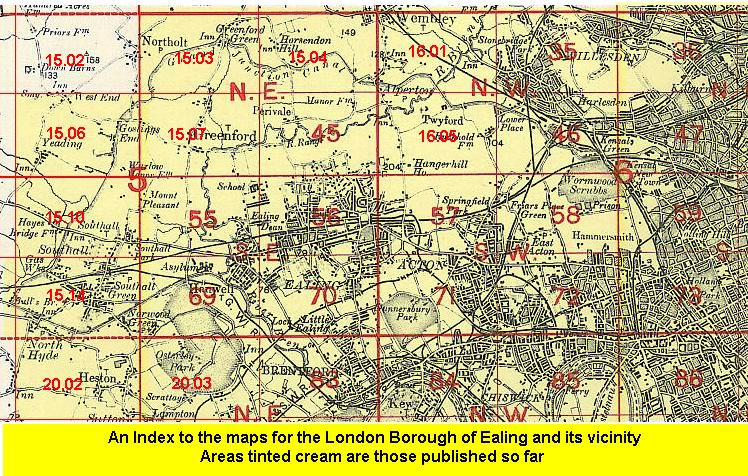 Follow this link for a list of our maps for the London Borough of Ealing, or here for a complete list of our London maps .