
 Here are the details of maps for North Hammersmith:

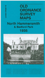
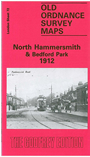
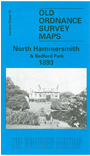
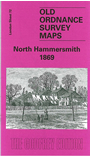
We have published four versions of this map, showing how the area developed across the years. The maps all cover the same area, with coverage extending from Acton Lane and Beaconsfield Road eastward to Devonport Road and Tabor Road, and from the Uxbridge Road southward to Hamlet Gardens and the District Line. The 1869 map shows Hammersmith at the edge of suburbia, with many fields, but several brick fields are evidence that building was underway. Features include Starch Green, Acton Vale, Oldfield House, Stamford Brook, Acton Green, Turnham Green station, Ravenscourt Park, Paddenswick Green. By the time of the 1893 map Starch Green has extended south to join Hammersmith, and part of the map is shown as western Shepherds Bush. Bedford Park is being developed. By the time of the 1912 map most of the map has been built on with just a few streets half built, and the 1935 version completes the picture. Other features on these maps include the NSWJR Hammersmith Branch, Stamford Brook Common, Wendell Park, tramways - and all the usual detail of these maps, including individual houses neatly delineated.
The 1869 map includes an 1888 LSWR timetable for the Waterloo-Hammersmith-Richmond line on the reverse. The 1893, 1912 and 1935 maps have good selections of street directory entries.
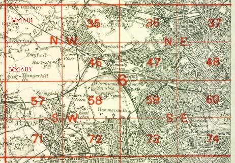
The map links up with London Sheets 58 East Acton to the north, 71 South Acton to the west, 73 Holland Park to the east, and 85 Chiswick to the south.
 Follow this link for a complete list of our London maps .