
 Here are the details of maps for SW Leicester

We have published two versions of this map, showing how the area changed across the years.
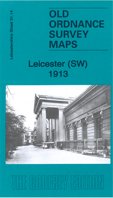
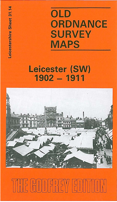
The maps cover a busy area of south Leicester, with coverage stretching from Newarke Street southward to Haddenham Road and St Mary's Fields, and from Minehead Street eastward to Lower Hastings Street. The first map is taken from the Special Edition 1912, principally based on the 1902 revision, but with houses and other buildings built to 1911 in outline form.
Features include stretch of Great Central Railway, with engine sheds; stretch of MR main line, and Leicester & Burton Branch, but no stations; River Soar, Leicestershire & Northamptonshire Union Canal, Castle Ward, Westcotes Ward, Infirmary, St Mary's church, Castle Mount, Trinity Hospital, Museum & Art Gallery, cemetery, football ground, county cricket ground, West Leigh, Church of the Martyrs, Wyggeston Hospital, Westcotes Grange etc.
The map links up with Leicestershire sheet 31.10 Leicester NW to the north, 37.02 Aylestone Park to the south and 31.15 Leicester SE to the east.