
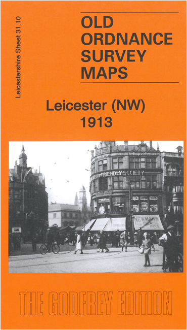
 Here are the details of maps for NW Leicester
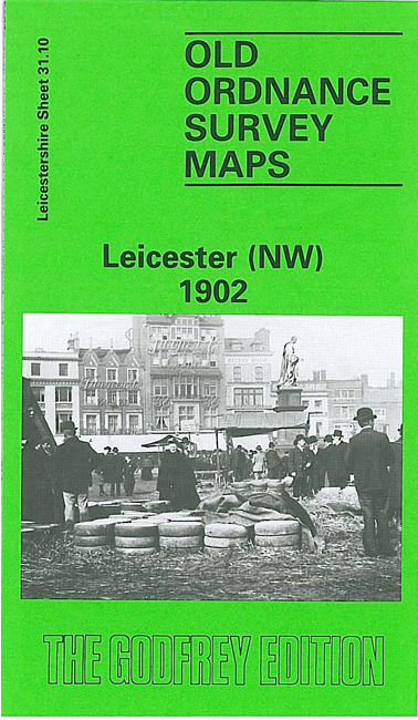

We have published two versions of this map, showing how the area changed across the years.
The maps cover part of central Leicester, together with its NW suburbs; coverage stretches from Granby Street and the Market Place northward to Abbey Park and westward to Mostyn Street and Ingle Street.
Features include much of the city centre and Martin's Ward, incl Market Square, St Martin's church, Humberstone Gate, High Street, Church Gate, Belgrave Gate, St Margaret's church, Great Central Railway with station, gas works, tramways, Bond Street Mills, Grand Hotel, West Bridge Mills, River Soar, MR West Bridge Branch with terminus, Soar Lane New Wharf, North Bridge, Black Friars area, Newton Ward, New Found Pool area, part of Dane Hills area, St Paul's church, boot and shoe factory, Bow Bridge Works etc.
The map links up with Leicestershire sheet 31.11 Leicester NE to the east and 31.14 Leicester SW to the south.