Old Ordnance Survey Maps of Leicestershire

  • These detailed maps normally cover an area of about one and a half miles by one mile. Each map includes an introduction.
  • They are available through our On-line Mapshop

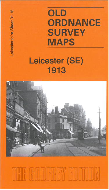
  • Here are the details of maps for SE Leicester

  • Leicestershire 31.15a Leicester (SE) 1902 - published 2001; intro by John Gough. ISBN.978-1-84151-270-9
  • Leicestershire 31.15b Leicester (SE) 1913 - published 2023; intro by Barrie Trinder. ISBN.978-1-78721-650-1

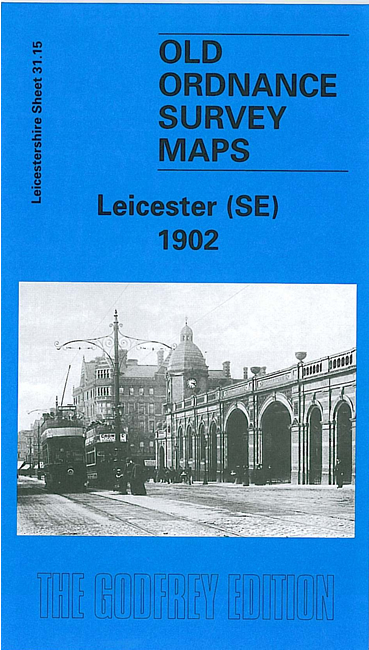
    We have published two versions of this map, showing how the area changed across the years.

    The maps cover the SE area of Leicester, with coverage stretching from the Midland station eastward to Evington Drive, and southward to Howards Road.

    Features include part of Midland station, London Road area, Counties Lunatic Asylum, Victoria Park, De Montfort Square, tramways, Evington Parks, southern part of Spinney Hill Ward, St John's church, St Peter's church, Highfields area, Evington Grange etc. It was an area still spreading eastward as the maps were prepared.

    The map links up with Leicestershire sheet 31.11 Leicester NE to the north, 31.14 Leicester SW to the west and 37.03 Knighton to the south.


  • Follow this link for a list of our Leicestershire maps. For other information and prices, and other areas, go to The Index Page.
  • Maps in the Godfrey Edition are taken from the 25 inch to the mile map and reduced to about 15 inches to the mile. For a full list of maps for England, return to the England page.
    The Godfrey Edition / sales@alangodfreymaps.co.uk / 2 May 2023