
Old Ordnance Survey Maps of Hounslow
We have very good coverage for the London Borough of Hounslow, which was formed in 1965 from the Municipal Boroughs of Brentford & Chiswick, and Heston & Isleworth, and the Urban District of Feltham. The area includes maps
from both our London and Middlesex series, which link up with each other.
All maps are available from our On-line Mapshop.
The following titles are all taken from the OS 25" maps and reduced to a scale of approximately 14 inches to the mile. Each covers an area of a mile and a half by one mile,
and includes an introduction.
 These are the principal maps for Hounslow in our London series:
83.2 Brentford 1894 - published 1992; intro by Alan Godfrey.
83.3 Brentford 1912 - published 2019; intro by Pamela Taylor
83.4 Brentford 1935 - published 2009; intro by Alan Godfrey.
84.1 Kew, Gunnersbury & Old Brentford 1894 - published 1991; intro by Alan Godfrey.
84.2 Kew, Gunnersbury & Old Brentford 1913 - published 2013; intro by Pamela Taylor.
84.3 Gunnersbury & Old Brentford 1935 - published 2021; intro by Pamela Taylor.
85.1 Chiswick 1867 - published 2004; intro by Pamela Taylor.
85.2 Chiswick 1893 - published 1994; intro by Alan Godfrey.
85.3 Chiswick 1935 - published 2008; intro by Pamela Taylor.
96.2 Isleworth 1894 - published 1991; intro by Alan Godfrey.
96.3 Isleworth 1912 - published 2017; intro by Pamela Taylor.
96.4 Isleworth 1935 - published 2009; intro by Chris Docherty.
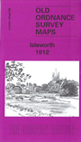
109.2 Whitton 1894 - published 1996; intro by John Griffiths.
109.4 Whitton, South Hounslow & Mogden 1935 - published 2019; intro by Pamela Taylor.
 These are the principal maps for Hounslow in our Middlesex series:
19.12 East Bedfont & West Bedfont 1934 - published 2012; intro by Tony Painter.
19.16 Ashford (North) 1934 - published 2012; intro by Tony Painter.
20.01 Harlington & Cranford 1935 - published 2013; intro by Tony Painter.
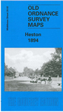
20.02a Heston 1894 - published 2003; intro by John Griffiths.
20.02b Heston 1935 - published 2013; intro by Tony Painter.
20.03a Osterley Park 1894 - published 1992; intro by Alan Godfrey.
20.03b Osterley Park 1935 - published 2009; intro by Frances Hounsell.
20.05 Hatton 1935 - published 2009; intro by Tony Painter.
20.06a Hounslow West 1894 - published 2004; intro by John Griffiths.
20.06b Hounslow West 1935 - published 2019; intro by Alan Godfrey.
20.07a Hounslow 1894 - published 1999; intro by John Griffiths.
20.07b Hounslow 1935 - published 2010; intro by Alan Godfrey.
20.09 North Feltham & East Bedfont 1934 - published 2004; intro by Tony Painter.
20.10 Hounslow Heath 1934 - published 2010; intro by Tony Painter.
20.13a Feltham 1912 - published 2004; intro by Tony Painter.
20.13b Feltham 1934 - published 2015; intro by Tony Painter.
20.14 Hanworth Park 1934 - published 2004; intro by Tony Painter.
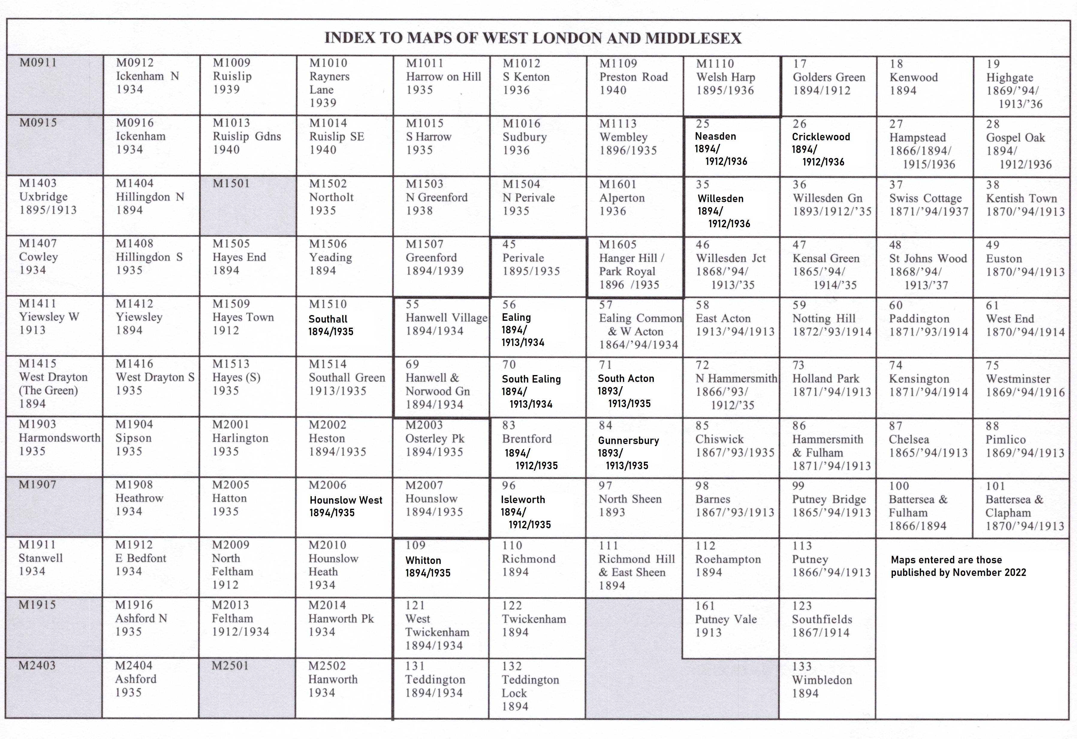
Here is an index map for the West London maps.
 Most maps in the Godfrey Edition are taken from the 25 inch to the mile map and reduced to about 15 inches to the mile.
For a full list of London and Middlesex maps go to the London page
You can order maps direct from our On-line Mapshop.
Most maps in the Godfrey Edition are taken from the 25 inch to the mile map and reduced to about 15 inches to the mile.
For a full list of London and Middlesex maps go to the London page
You can order maps direct from our On-line Mapshop.
Alan Godfrey Maps, Prospect Business Park, Leadgate, Consett, DH8 7PW. Tel 01207 583388
The Godfrey Edition / sales@alangodfreymaps.co.uk / 6 October 2021