
 Here is information about the map for Feltham:

We have published two versions of this map, showing how the area developed across the years.
The maps cover the centre of Feltham and the area west and south, stretching southward to Lower Feltham, and westward to the Borstal. Features include the station, The Green, High Street, Feltham Farm, and numerous nurseries. Central to the 1912 map is the massive area of greenhouses set up by Alfred W Smith, the "Cabbage King", which were served by railway sidings. Outside the centre of Feltham much is country. The 1934 map shows a more built-up Feltham, with several industries.
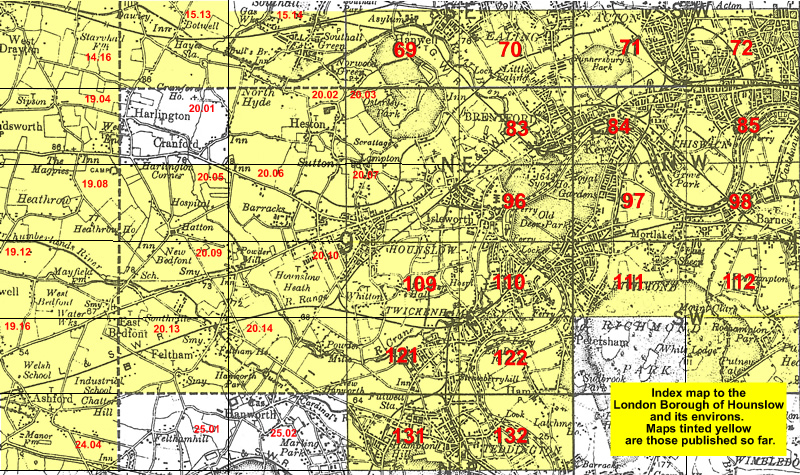
The map links up with Middlesex Sheets 20.09 North Feltham to the north, 19.16 Ashford North to the west, and 20.14 Hanworth Park to the east.
 Follow this link for a list of our maps for the London Borough of Hounslow, or here for a complete list of our London maps .