
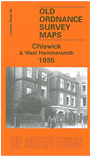
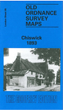
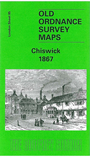
 Here are the details of maps for Chiswick & Castelnau:

We have published three versions of this map, showing how the area developed across the years. The maps each cover the same area, Chiswick House and Christ Church (on Turnham Green) eastward to Hammersmith Bridge; and from High Road and King Street southward. However, Please note that the 1935 map (as usual at that period) does not include the area south of the river, which is left blank.
Features on the maps include Chiswick House and gardens, Chiswick Cemetery, Chiswick New Town, Devonshire Road, Duke Road, Griffin Brewery, St Nicholas church, West Middlesex Water Works, Royal Horticultural Gardens, Church Wharf, St Peter's Square, The Creek. A portion of Hammersmith (south of King Street) is in the NE corner. The Thames runs through the map, including Chiswick Eyot. Castlenau and Lonsdale Road are in the SE quarter (except 1935 version). Part of Turnham Green is in the NW corner. A list of private residents in 1890 is included, split between the 1867 and 1893 maps. The 1935 map includes a contemporary street directory for Chiswick High Road, Chiswick Lane and Chiswick Mall.
The map links up with London Sheets 72 North Hammersmith to the north, 84 Kew to the west, 86 Hammersmith & Fulham to the east, 98 Barnes to the south.
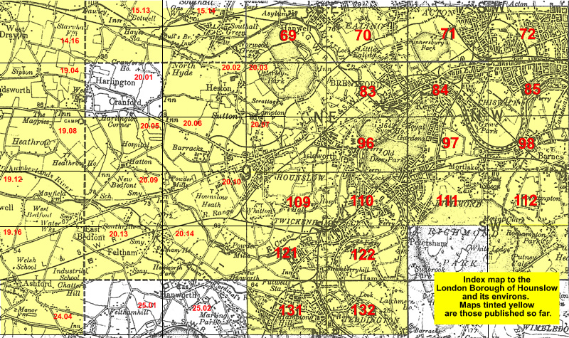 Follow this link for a list of our maps for the London Borough of Hounslow, or here for a complete list of our London maps .