 Here are the details of maps for Haughton Green:

We have published two versions of this map, showing how the area changed across the years. The map covers the Haughton Green area, with the Stockport Road part of south Denton to the north. It extends westward to Hyde Hall and eastward to Gibraltar Mill.
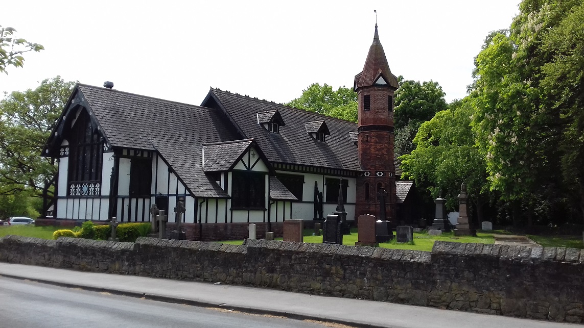
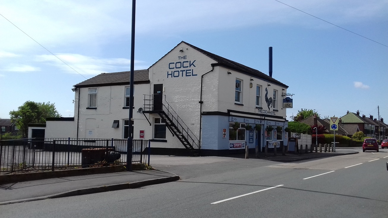
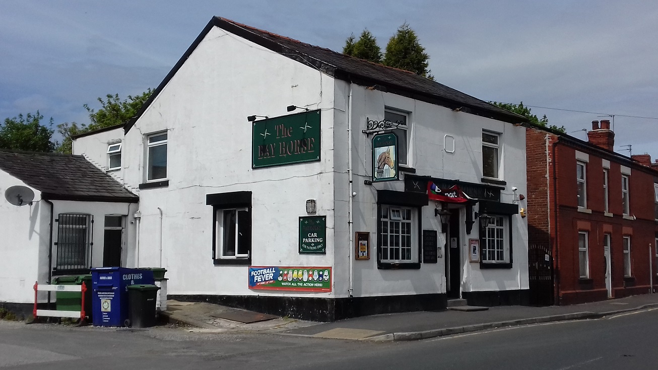
Features on the map include Haughton Green with individual buildings neatly shown, St Mary's church, Gibraltar Mill, Dark Lane Farm, Moorfield Farm, Two Trees Lane, tramway, Denton Colliery Great Wood Pit, Denton Cemetery, Fletcher's Arms, Yew Tree Farm, mineral railway, etc.
The map links up with Lancashire Sheets 105.14 Denton to the north, 112.01 North Reddish to the west, 112.03 Hyde to the east, 112.06 Woodley to the south.
Further information:
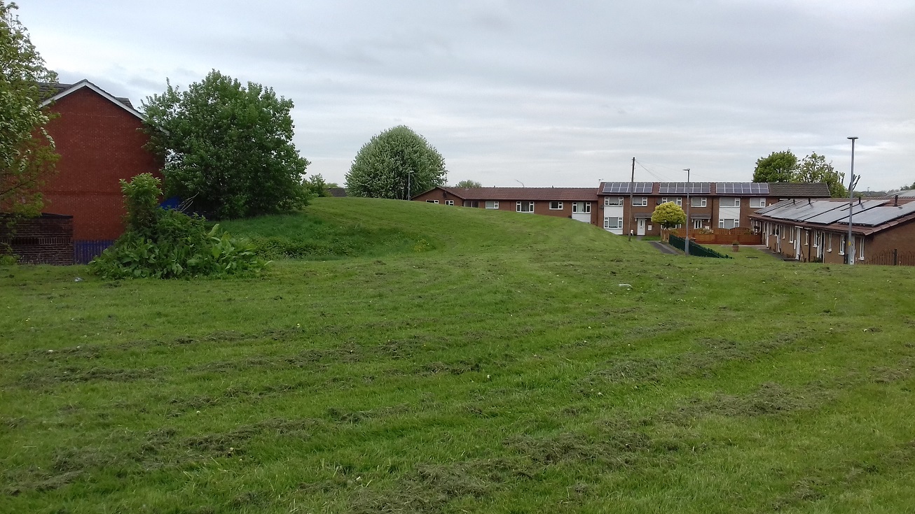
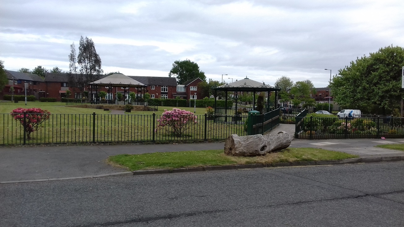
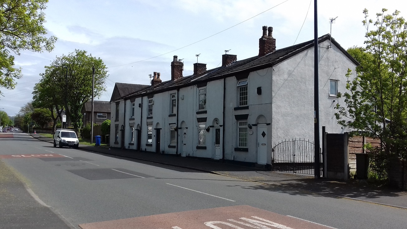
Haughton Green is in a loop of the River Tame and as a result has always been fairly independent. Many of its inhabitants worked at the Gibraltar Mill, across the river in Hyde, but there was also coal-mining, with several small pits dotted around the village. There was a massive growth in population in the 1950s and 60s when it was used for overspill housing, to help clear Manchester's slums, but it retains some of its old character and for anybody walking around the area there are excellent 'history information' boards.
 .
.
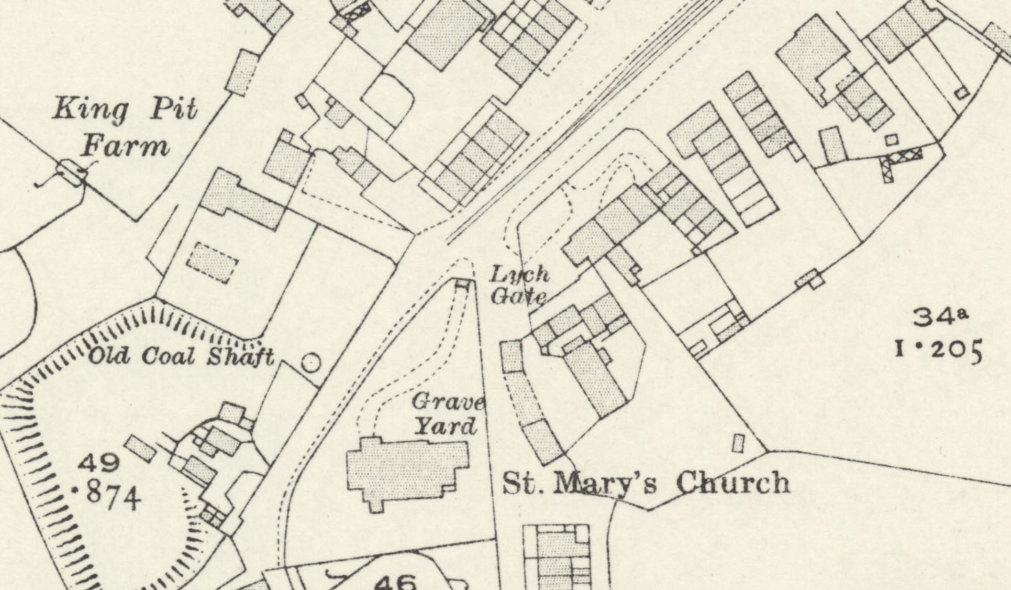
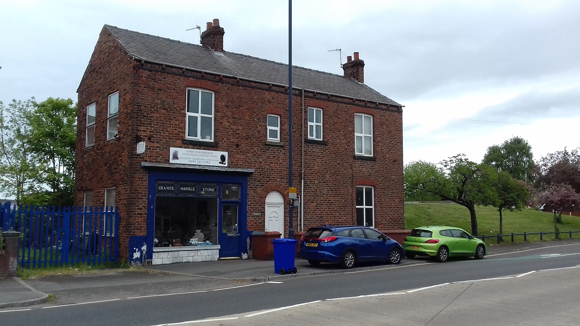
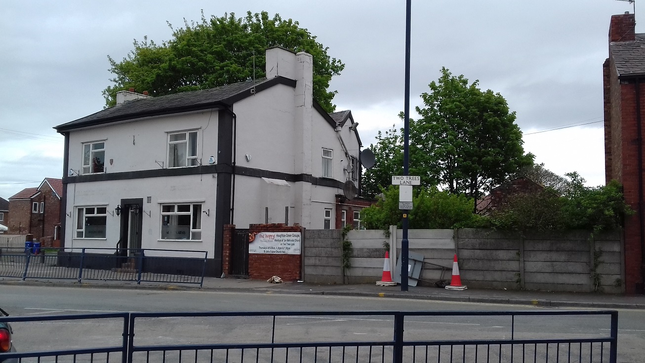
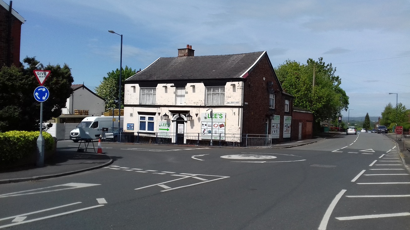
"There had previously been several smaller collieries dotted across the Haughton side of the map. On the E side of Stockport Road, by the junction with Two Trees Lane, an Old Coal Shaft, the former Albert Pit, can be seen behind the Masons Arms (here simple P.H.), which used to open early in the morning for the night shift workers going home, and where miners would gather in the snug to be paid. The pub, now closed, dated back to the mid-18th century but had been largely rebuilt; it was formerly called the Red Lion and for a while nicknamed the ‘Old Pondicherry’, after an East Indies adventure of the 1760s. The Albert Pit, which was owned by the Denton Colliery Co, closed in the 1880s, as did the nearby Parsonage Pit, presumably the colliery remains shown in plots 212 and 237. There was also a Sycamore Pit, which probably closed following a fire in 1873, near to the future cricket ground."