 Here are the details of maps for Hyde:

We have published two versions of this map, showing how the area changed across the years. Each covers the centre and southern part of Hyde, stretching southward to Hyde Chapel in Gee Cross.
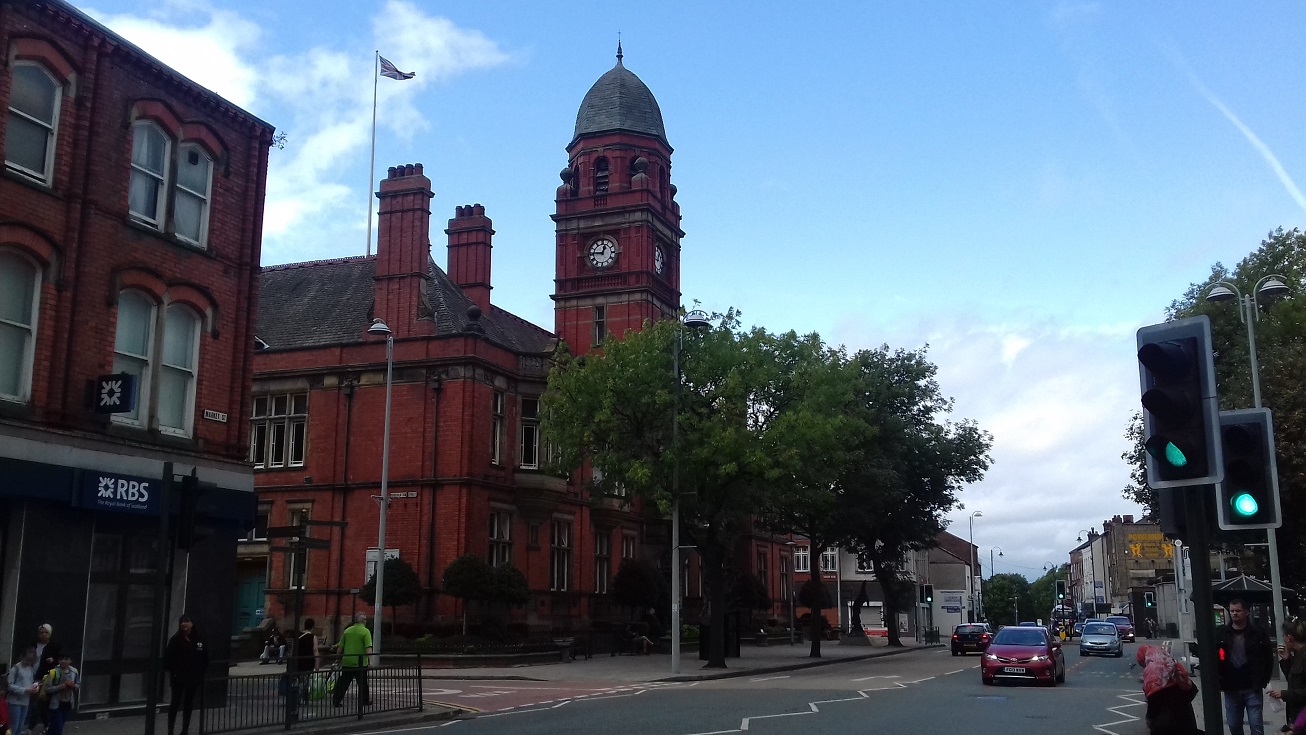
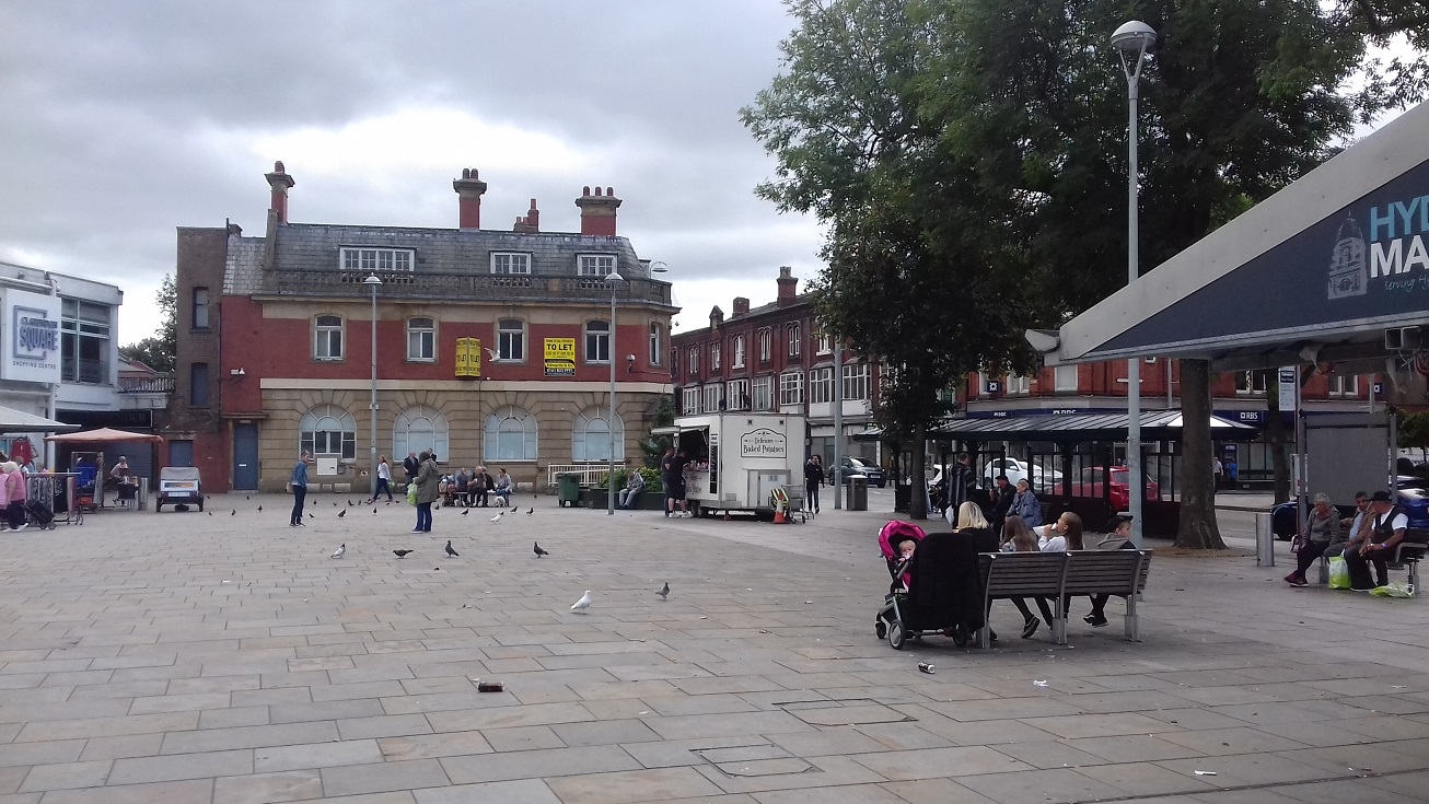
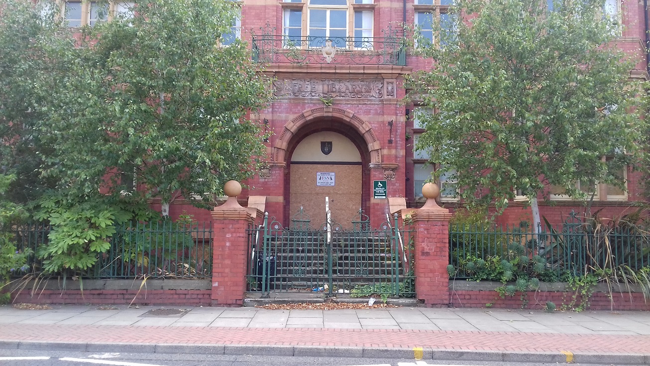
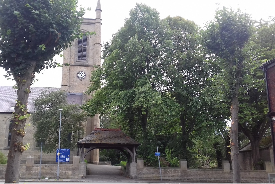
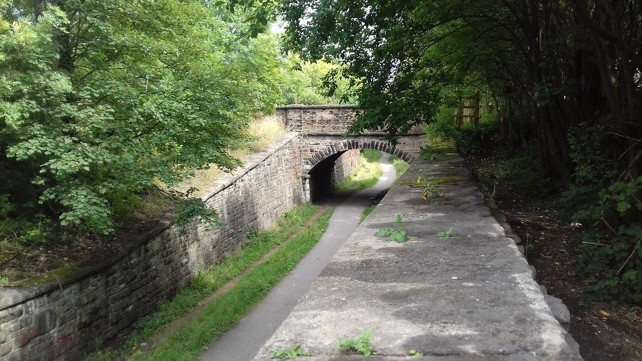
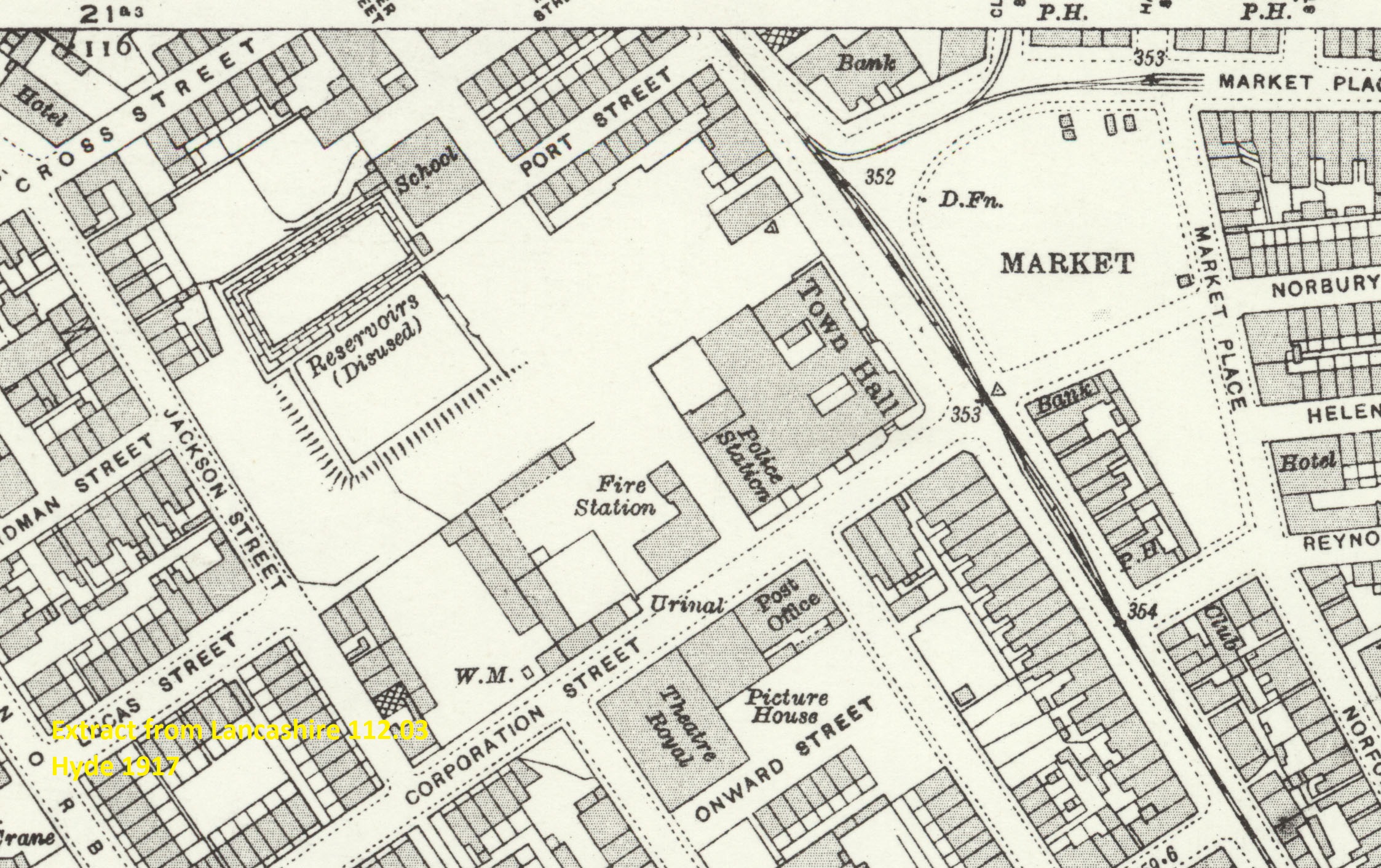
Features include tramways, Cheshire Lines Railway, Great Central & Midland Joint Railway, town centre with individual buildings neatly shown, Slack Mills, Gee Cross Mill, Providence Mill, Boiler Works, Barnfield Mill, Millwood Mill, market place, Theatre Royal, Town Hall, Diamond Reservoir, Stonepit Reservoir, Redfern's Rubber Works, 2 Infectious Diseases Hospitals, Peak Forest Canal, St George's church, Hyde Chapel, Nether Hey hatworks, etc.
The map links up with Lancashire Sheets 112.02 Haughton Green to the west.
Hyde is also covered in our Cheshire series, sheet 11.01. See this page.
Further information:
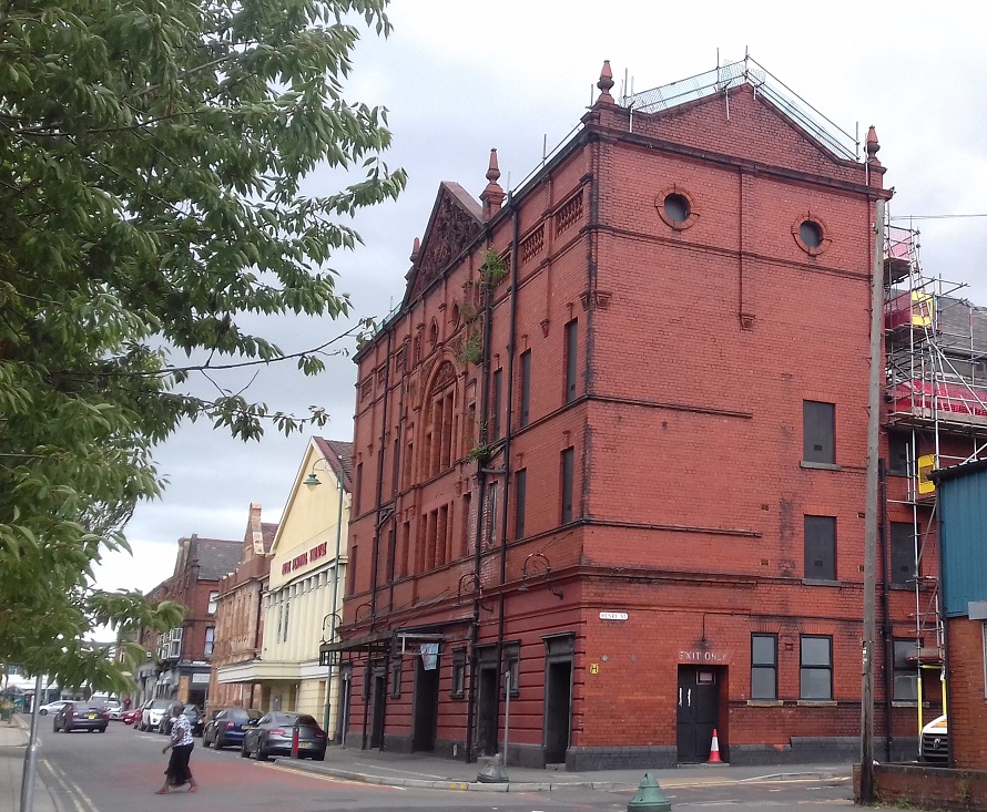
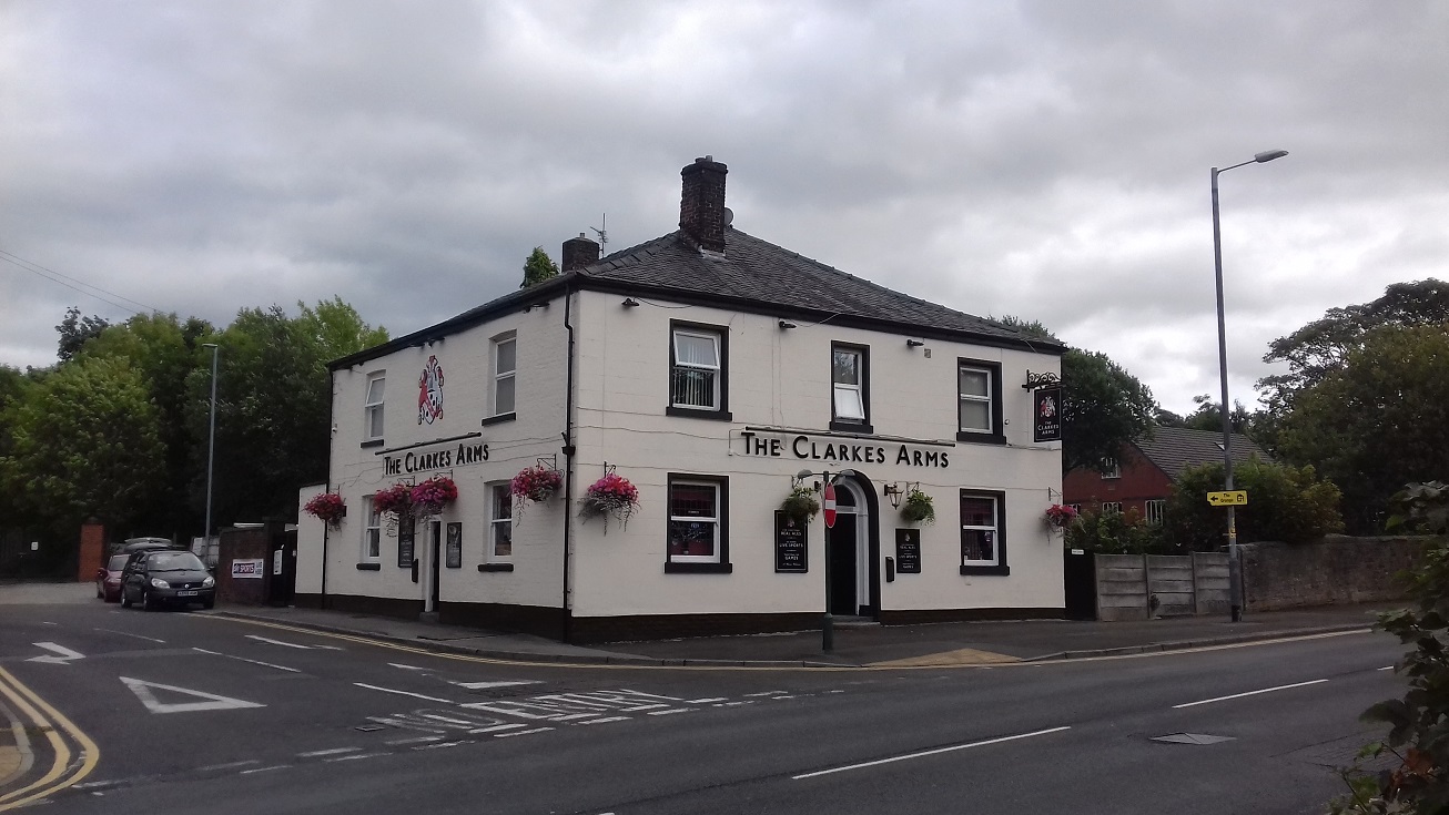
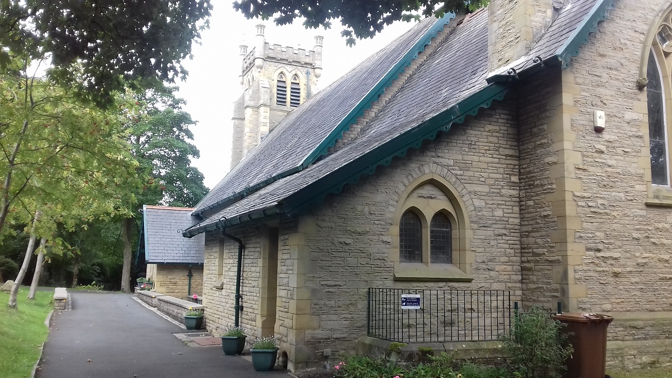
Hyde developed in the 19th century from a handful of cottages and farmhouses into a major mill town, with the large Slack Mills near the centre of town and others, such as Providence Mill and Gee Cross Mill, built next to the Peak Forest Canal. The town became a municipal borough in 1881 and by 1891 the population had topped 30,000, with an impressive Town Hall built to manage its affairs, while the early-20th century saw the building of one of the area's most impressive Edwardian theatres and the development of a tram network. Thereafter the town began to stagnate, and Gee Cross Mill closed in the 1930s. Gee Cross, at the bottom of sheet 112.03, is older and includes Hyde Chapel, the earliest of the town's churches.
 .
.
"North of Gee Cross Mill on the banks of the Peak Forest Canal is Providence Mill built in about 1867. It was worked by Robert Walker & Sons, but partly because of the effects of the cotton famine it was many years before it got to full capacity. By 1871 only 35 adults and 34 children were employed there. Just north of the mill on the other side of the canal can be seen the remains of the workings of the Peacock coal pit which may be one of the reasons why the mill was built at that location. In 1886 the main block was destroyed by fire, but it was fully insured and so was re-built and equipped with electricity and new machinery in 1887. The first known instance of ring spinning in Hyde was at this mill. It remained in operation under Robert Walker & Sons Ltd until 1920 when Providence Mills (Hyde) Ltd took over. From 1927 until about 1933 it was operated by Scottish Artificial Silks Ltd, followed by various other users under multiple occupancy."