
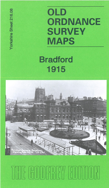
 Here are the details of maps for central Bradford:
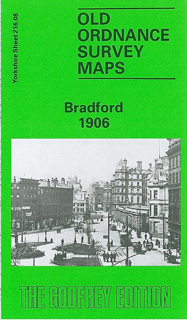

We have published two versions of this map, showing how the area changed across the years.
The maps cover most of Bradford City Centre. Coverage stretches from Shearbridge Road eastward to Hammerton Street Junction, and from Forster Square southward to Ripley Street. The many features include Town Hall, Kirkgate Market, Exchange Station, Bridge Street Goods Station, St James's Markets, Eastbrook Mills, Broomfields, Ripleyville, Little Horton Green, Britannia Mills, Bowling Mills, Leeds Road Dye Works, Prospect Foundry, the west part of New Leeds, Great Northern Goods Station, Bradford Workhouse, Shearbridge, Central Baths, Lister Hills Ward, Bee Hive Mills, many smaller mills and wareghouses, Horton Hall, St Peter's church. The railway approaches to Exchange Station are shown with track layout, including St Dunstan's Junction.
The map links up with sheet 216.04 Bradford North to the north, 216.07 Bradford West to the west, 216.12 Bradford South to the south, 217.05 Bradford East to the east.