
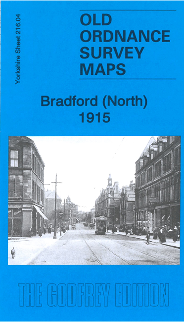
 Here are the details of maps for Bradford North:
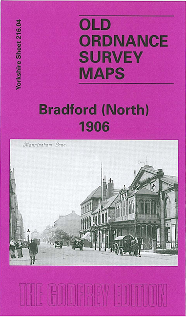

We have published two verions of this busy map, showing how the area changed across the years. Coverage is from Bradford Midland (now Forster Square) station northward to Manningham station and eastward to Peel Park and Bradford Cemetery.
The many features include Midland station and railway approaches, tramways, Royal Infirmary, Lumb Lane Mills, Ashfield Mills, Clifton Villas, Valley Parade football ground, Bolton Royd, Northbrook Brewery, Wapping Works, Bradford Cemetery, Peel Park, Hillside Villas, Bradford Canal, St Mary's RC Church, St Augustine's church, industries along Canal Road, part of Manningham, Christ Church, and much more.
The map links up with sheets 201.16 Bolton Woods to the north, 216.03 Girlington to the west, 217.01 Thornbury & Bradford Moor to the east and 216.08 Bradford to the south.