
 Here are the details of maps for Walker & Hebburn:

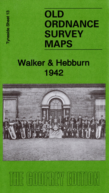
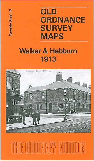
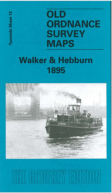
We have published three maps for this area to show how the area has changed over the years.
The maps cover a busy area, with sections of both Walker and Hebburn either side of the River Tyne. Features on the Walker side include Neptune Shipbuilding Yard, Wallsend Shipbuilding Yard, Walker Shipyard, Neptune Engine Works and Boiler Works, Glue & Chemical Works, Low Walker Landing, NER Riverside Branch with many sidings to works, part of Wincomblee, Low Walker area, part of Walkergate area, St Anthony's RC church, Christ Church, dry docks, Mitchell's Buildings, ferry crossings, etc.
Features on the Hebburn side include Hebburn Shipbuilding Yard, Bauxite Works, Reyrolle Hebburn Works, part of Hebburn Colliery, Presbyterian church, RC church, etc.
Each map includes a specially written introduction to the area, together with extracts from early directories.
The maps link up with Tyneside Sheets 6 Wallsend to the North, 12 Byker to the West, 14 Wallsend to the East and 19a St Anthonys to the South.
Maps in the Godfrey Edition are taken from the 25 inch to the mile map and reduced to about 15 inches to the mile. For a full list of maps for the North East, return to the North East page.
The Godfrey Edition / sales@alangodfreymaps.co.uk / 24 September 2019