 Here are the details of maps for Jarrow:

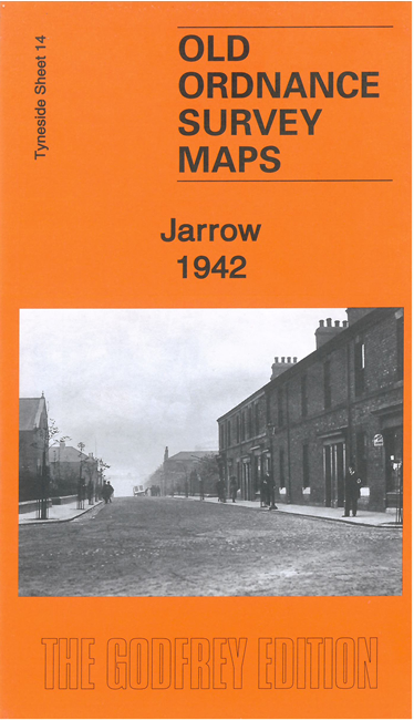
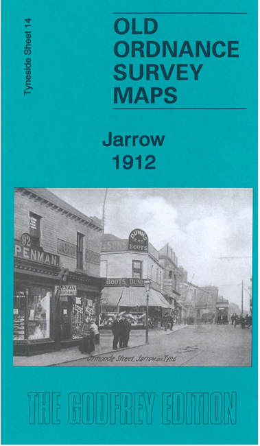
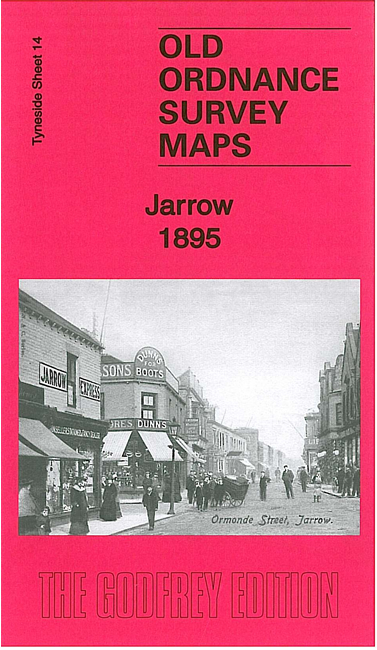
We have published three versions of this map, showing how the area changed across the years. Coverage extends from St Cuthbert's church Hebburn eastward to Commercial Road Jarrow, and from Palmers Shipbuilding Works southward to Jarrow Park.
Features include most of Palmers Shipbuilding Works, railways including Jarrow and Hebburn stations, Pontop & Jarrow Railway, Hebburn Colliery, Bede Metal Works, St Cuthbert's church Hebburn, Quality Row, Tyne Lead Works, Ordnance Works, Jarrow town centre with individual buildings neatly shown, Christ Church, Jarrow Park, cricket ground, Grange Metal Works, Palace Theatre, railway sidings, Hebburn Shipbuilding Yard etc.
This map links up with Tyneside Sheet 13 Walker to the West, Sheet 7 Willington Quay to the North, Sheet 15 East Jarrow to the East and 20 Monkton to the south.
Maps in the Godfrey Edition are taken from the 25 inch to the mile map and reduced to about 15 inches to the mile. For a full list of maps for the North East, return to the North East page.
The Godfrey Edition / sales@alangodfreymaps.co.uk / 18 October 2022