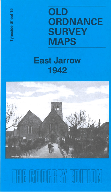
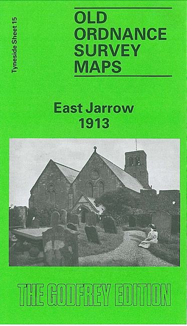
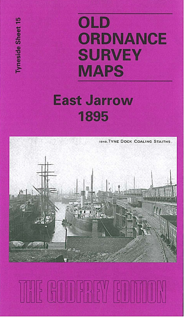
 Here are the details of maps for East Jarrow:

We have published three maps for East Jarrow to show how the area changed over the years. The maps cover the area from Jarrow Hall eastward to Tyne Dock.
Features on the map include St Paul's Church, St Paul's Monastery, Jarrow Hall, Jarrow Cemetery, Mercantile Dry Docks, eastern part of Jarrow, Lake House Farm, oil terminal with railway, Tyne Dock, warehouses, staiths, many railway sidings, Jarrow Slake etc. The great contrast is between the church and monastery, with their Bede connections, and the industrial areas nearby.
This map links up with Tyneside Sheet 14 Jarrow to the West, Sheet 8 Percy Main to the North and Sheet 16 Harton to the East. and Durham Sheet 3.16 Brockley Whins to the east.
Maps in the Godfrey Edition are taken from the 25 inch to the mile map and reduced to about 15 inches to the mile. For a full list of maps for the North East, return to the North East page.
The Godfrey Edition / sales@alangodfreymaps.co.uk / 10 January 2023