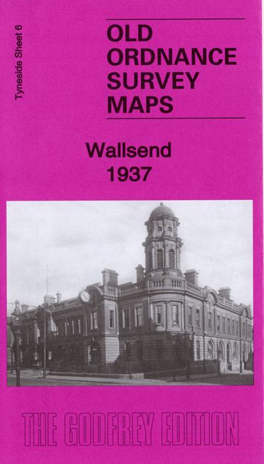
 Here are the details of maps for Wallsend:
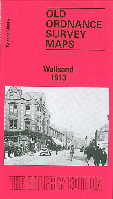

We have published two versions of this map, showing how the area changed across the years.
The maps cover the area from Hall Farm and Wallsend Park down to Carville Station and Buddle Street. Coverage extends westward to include Bigges Main and St Andrew's Church.
Features (from 1937 version) include town centre with individual buildings neatly shown, NER Tynemouth Branch with Wallsend station, Riverside Branch with Carville station, Killingworth Wagonway, Bigges Main, Walkerville, Wallsend Park, The Hall, The Green, Borough Theatre, Municipal Buildings, St Luke's church, St John's church, Segedunum Roman Fort site, chapels, pubs, etc.
Each map includes extracts from a contemporary directory together with a specially written introduction to the history of the area.
This map links up with Tyneside Sheet 5 High Heaton to the West, Tyneside Sheet 13 Walker to the South, Tyneside Sheet 7 Willington Quay to the East.
Maps in the Godfrey Edition are taken from the 25 inch to the mile map and reduced to about 15 inches to the mile. For a full list of maps for the North East, return to the North East page.
The Godfrey Edition / sales@alangodfreymaps.co.uk / 20 December 2019