Staffordshire Sheet 12.01 Great Chell 1876 - published 2011; intro by Malcolm Nixon. ISBN.978-1-84784-483-5 
This detailed map covers the semi rural area NE of Tunstall, including the hamlets of Great Chell, Pitts Hill, Fegg Hayes, Chell Heath and part of Whitfield.
Features include Highlane Colliery, NSR Loop Line, old collieries, Wolstanton & Burslem Workhouse, mineral railways, Whitfield Colliery, NSR Biddulph Valley Branch. On the
reverse we include 1892 directories for Chell and Pitts Hill.
The map links up with Staffordshire Sheets 11.04 Tunstall N to the west, 12.05 Smallthorne to the south.
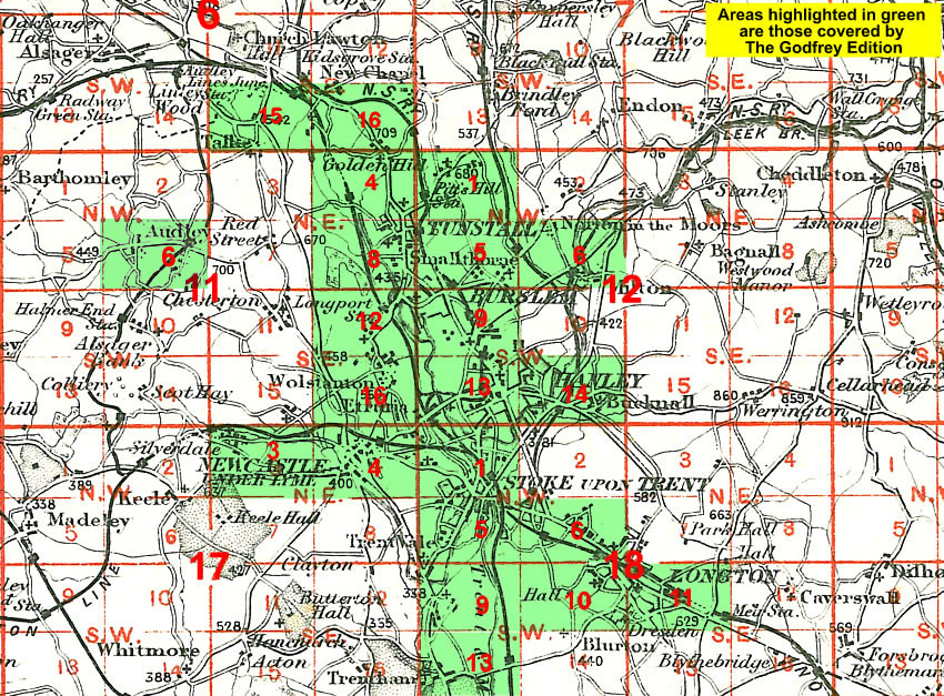
You might find this Index Map useful.
For a full list of maps of Staffordshire, please go to the Staffordshire page or the
Potteries page.
You can order maps direct from our On-line Mapshop.
For other information and prices, and other areas, go to The Index Page.
Maps in the Godfrey Edition are taken from the 25 inch to the mile map and reduced to about 15 inches to the mile.
For a full list of maps for England, return to the England page.
Alan Godfrey Maps, Prospect Business Park, Leadgate, Consett, Co Durham, DH8 7PW /
sales@alangodfreymaps.co.uk / 28 January 2018

 Here are the details of the map for Great Chell: