
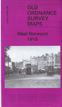
 Here are the details of maps for West Norwood & Lower Norwood:
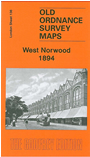

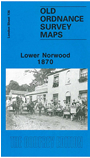
These three maps cover the same area, at different dates, showing how Norwood changed; the difference in titles reflects a change of emphasis over those years. Coverage stretches from Wellfield Road and Angles Road eastward to Hamilton Road and Rommany Road, and from Royal Circus and Lansdown Hill southward to Crown Hill.
The centre of West Norwood, including part of The Broadway, is a major feature. Other features include South Metropolitan Cemetery, West Norwood station, Lambeth New Schools, Convent of the Faithful Virgin, part of Streatham Common, St Anselm's church (left hand margin), St Luke's church, horse tramways and depot, Parkhill, Wellfield House, Jews Hospital & Orphan Asylum.
In the extreme SW corner of the 1870 map is Well House, a reminder that Streatham achieved fame in the 18th century as a spa. According to author John Brown the water "was highly regarded, one cup of which was said to be equivalent of three doses of that from Epsom" and it was claimed to be a cure for many diseases and even blindness. Other features include Spa Wells, a later chalybeate spring, whose waters were delivered with the milk until 1942 when it was bombed. Several street directory entries are on the back of each map.
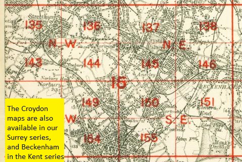
The map links up with London Sheets 126 Streatham Hill to the north, 135 West Streatham to the west, 137 Upper Sydenham to the east and 144 Norbury to the south.
 Follow this link for a complete list of our London maps .