
 Here are the details of maps for Norbury:

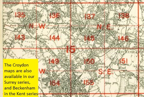
We have published just the one map for this area. It covers an area stretching from London Road and Norbury station eastward to Spa Hill at Upper Norwood; and from Gibsons Hill southward to Beulah Road North and the tip of Thornton Heath. It covers an area in the relatively early stages of development; a major feature is the Beulah Brick Works. Other features include the Beulah Spa with chalybeate spring, villas on Beulah Hill, Hermitage Sports Grounds, Norbury Hall. There are extracts from Croydon and Norwood directories that include Beulah Hill, Moffat Road, Osborne Road, Spa Hill and Spa Road.
The map links up with London Sheets 136 West Norwood to the north, 143 Lower Streatham to the west, 145 Crystal Palace to the east and 149 Thornton Heath to the south.
 Follow this link for a complete list of our London maps .