
 Here are the details of maps for Upper Sydenham:

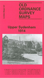
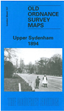
We have published two versions of this map, showing how the area developed across the years. The maps each cover the same area, from Clive Road eastward to Kirkdale, and from Crescent Wood Road southward to Crystal Palace High Level station. Features include Gipsy Hill, Sydenham Hill and Upper Sydenham stations, West Hill, Alleyn Park, Kingswood House, Westwood House, High Street, Charleville Circus. The 1894 map also includes part of Crystal Palace Park, incl The Maze. However, the 1914 map has the area of Kent left blank so does not include the Park. For this reason, if you are only buying one version we strongly recommend the 1894 map.
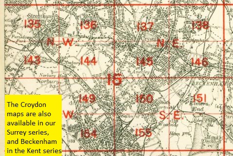
The map links up with London Sheets 127 Dulwich to the north, 136 Lower Norwood to the west, 138 Lower Sydenham to the east, 145 Crystal Palace to the south.
 Follow this link for a complete list of our London maps .