
 Here are the details of maps for Heaton Chapel

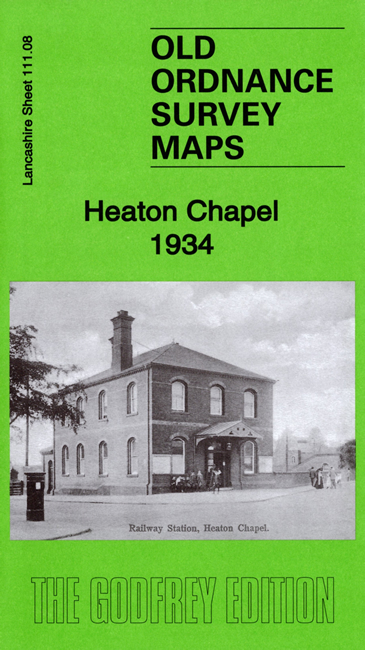
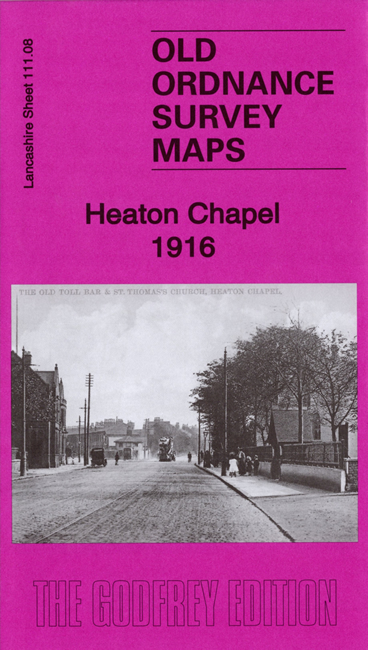
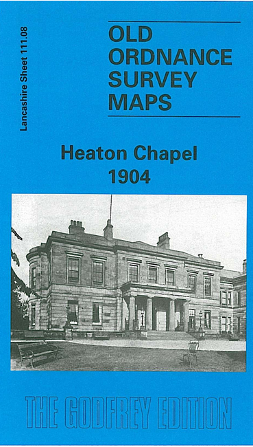
We have published three versions of this map, showing how the area changed across the years. The maps cover Heaton Chapel and the area to the north, northward to Black Brook Bridge and including the southern tip of Levenshulme.
Features (taken from the 1934 version) include railway with Heaton Chapel station, tramway, Mauldeth Home, Levenshulme High School, Cringle Fields Park, Errwood Park Works (used by Crossley Motors), Motor Car Works (used for Willys-Overland-Crossley cars and later Fairey Aviation), Levenshulme Biscuit Works (McVitie & Price and notable for Jaffa cakes), Alma Engineering Works, Heaton Moor Golf Course, Peel Moat, Shore's Fold, Pink Bank Farm, Black Brook Farm, Whitehill Isolation Hospital, stretch of Stockport Branch canal, Broadstone Hall, Broadstone Mills, Reddish Mills etc. Each map includes extracts from early directories.
The map links up with sheets 111.04 Levenshulme to the north, 111.07 Withington to the west and 112.05 South Reddish to the east and 111.12 Heaton Norris to the south.